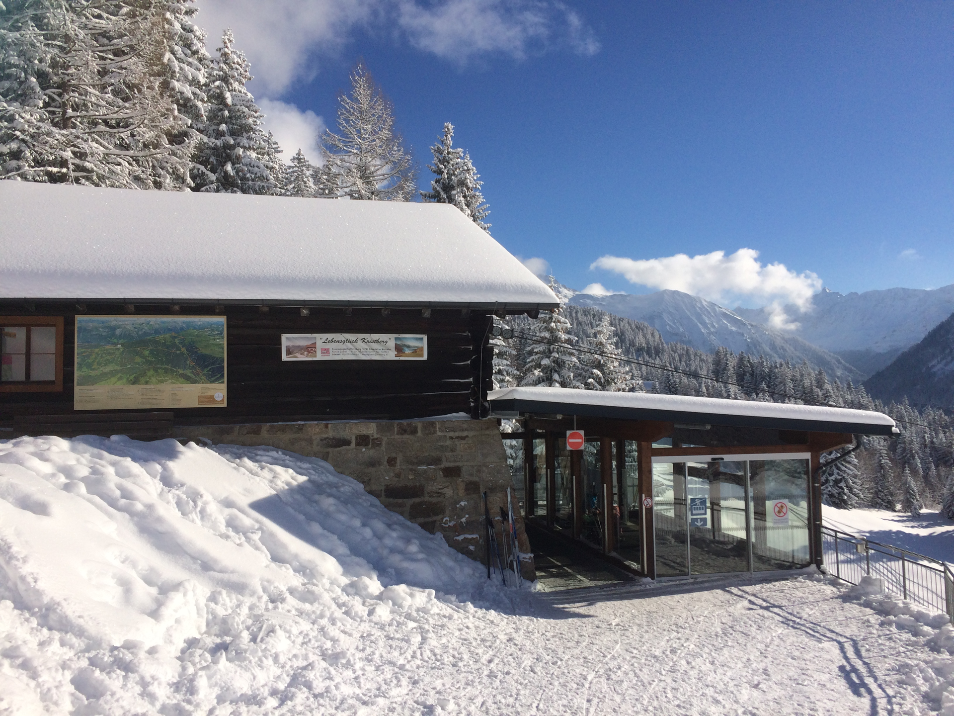
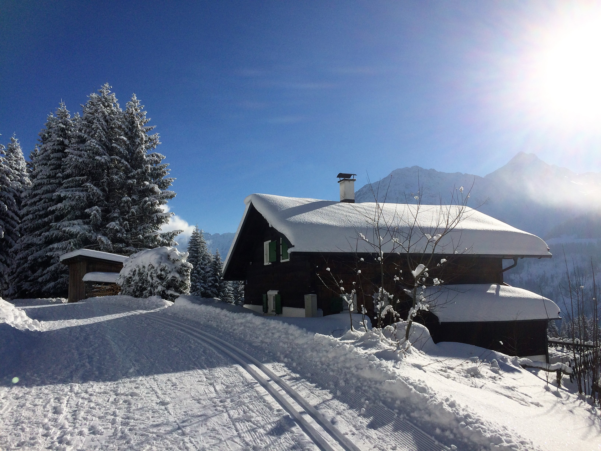
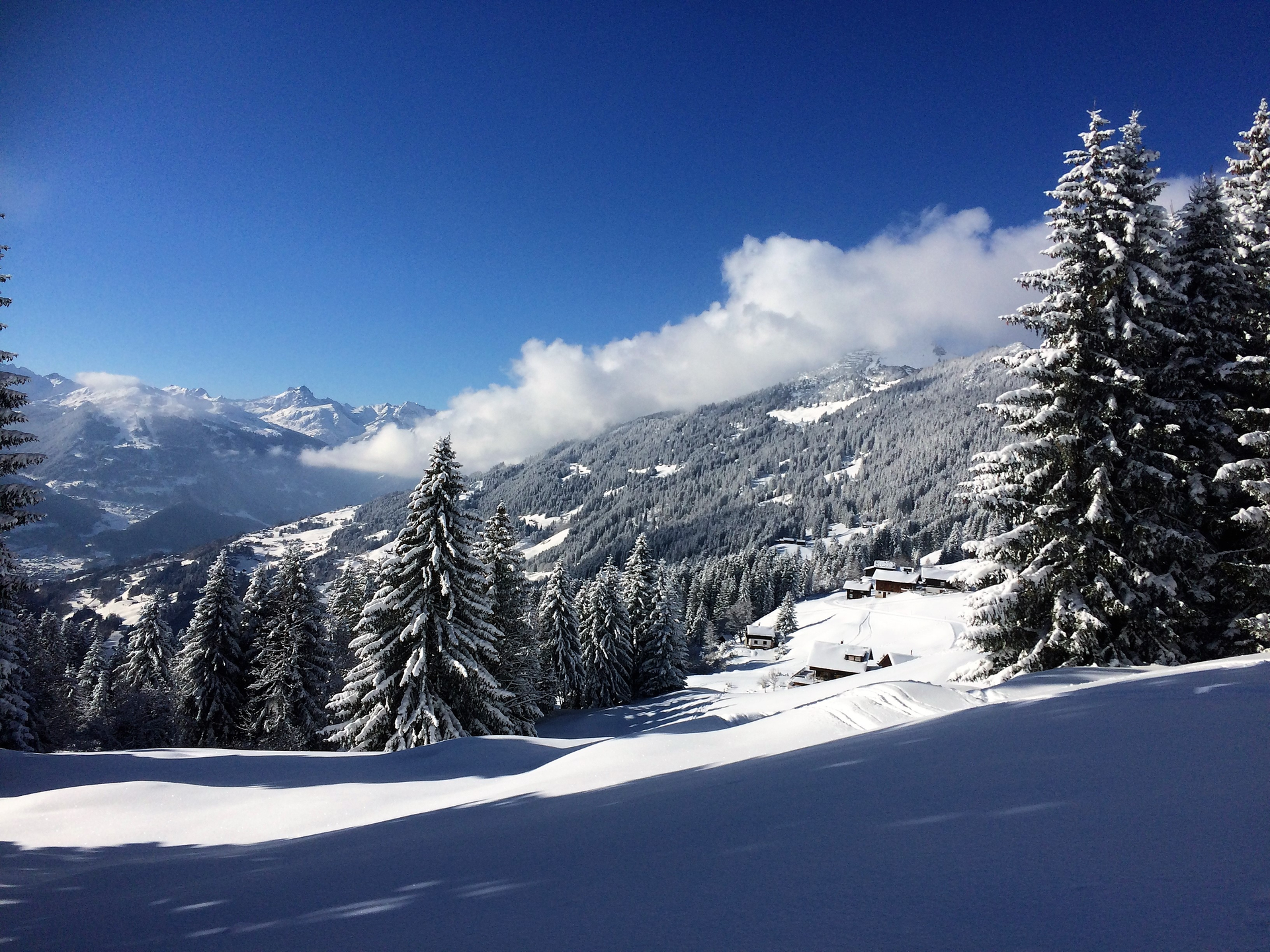
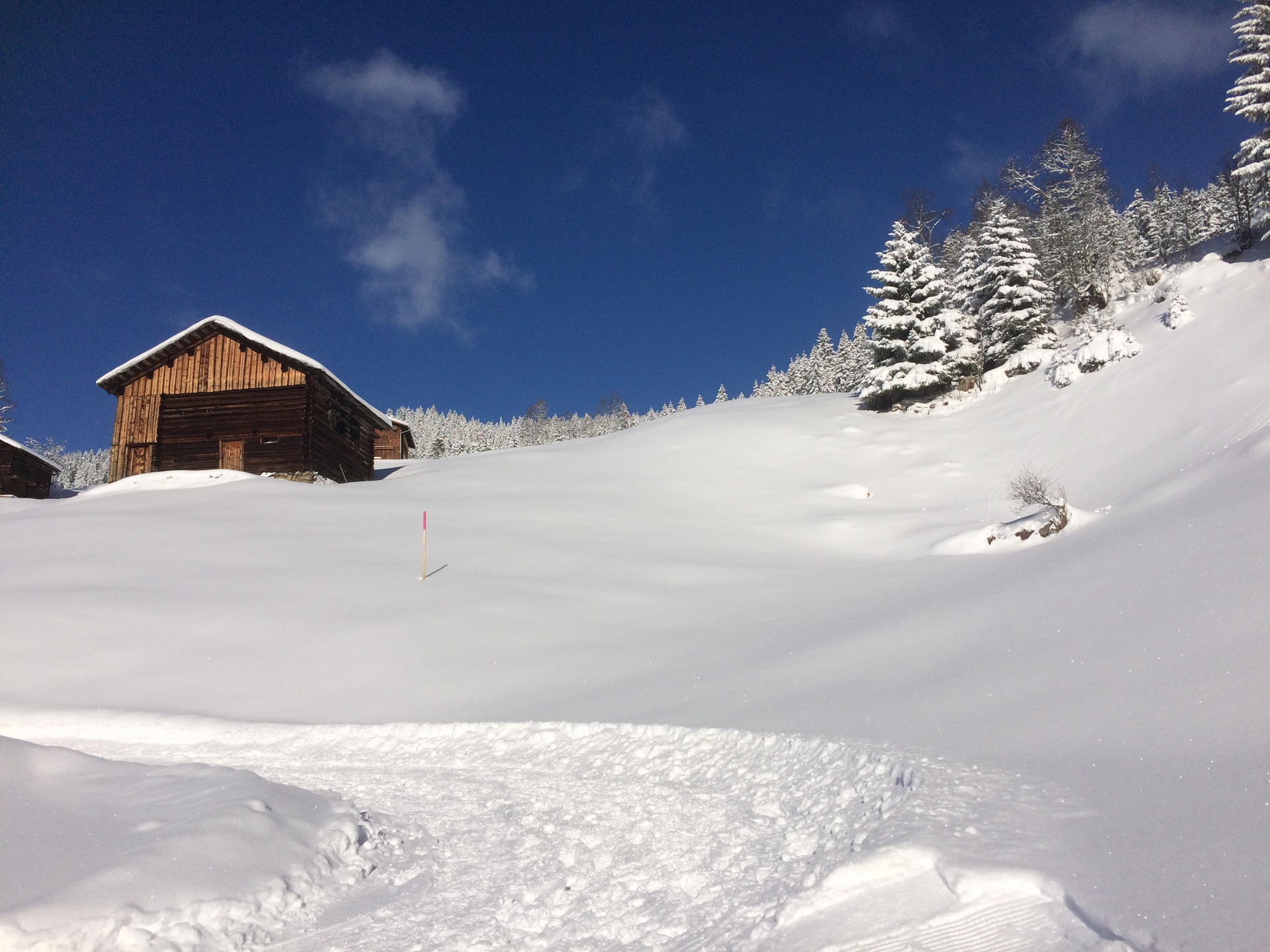
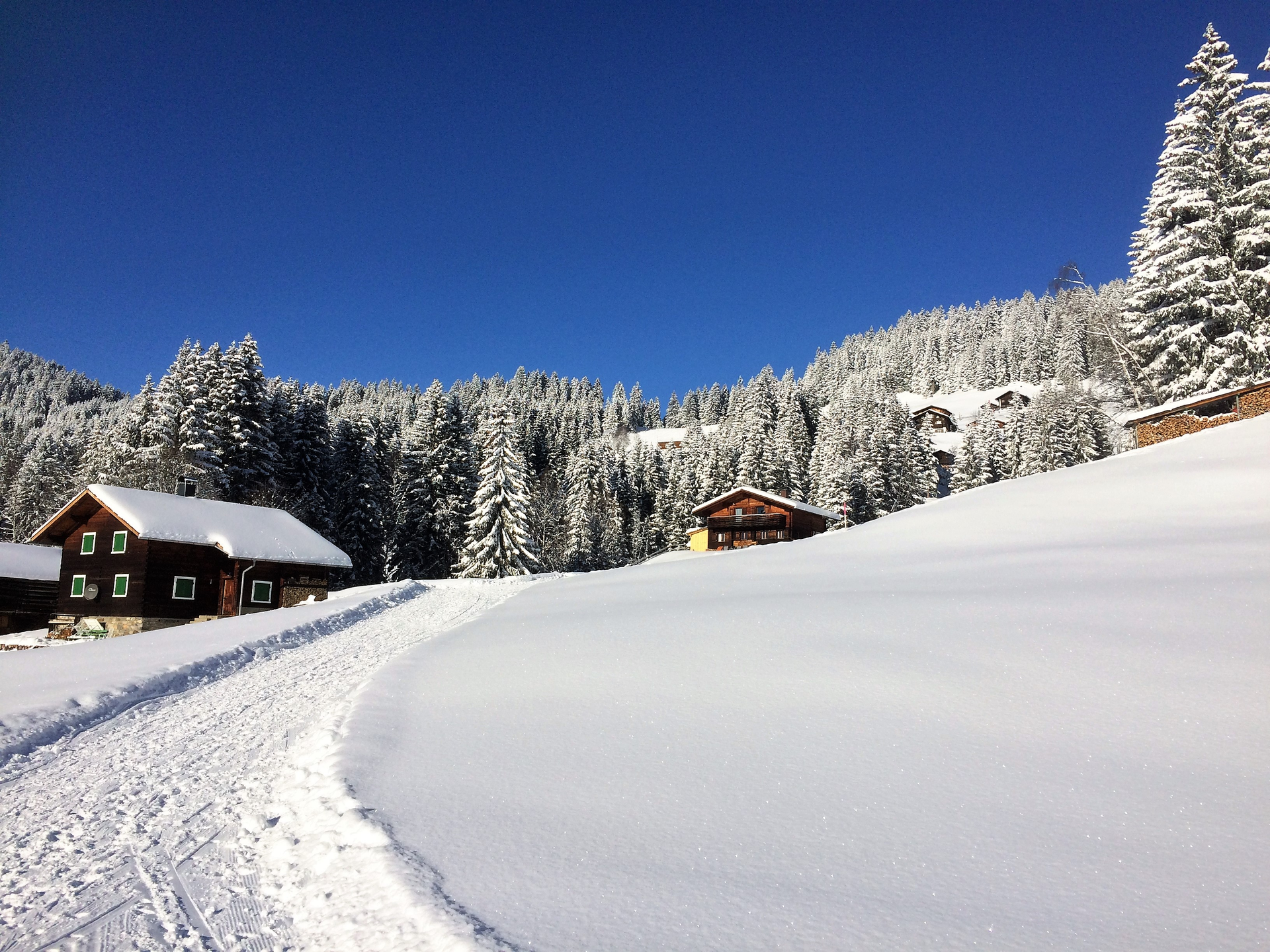
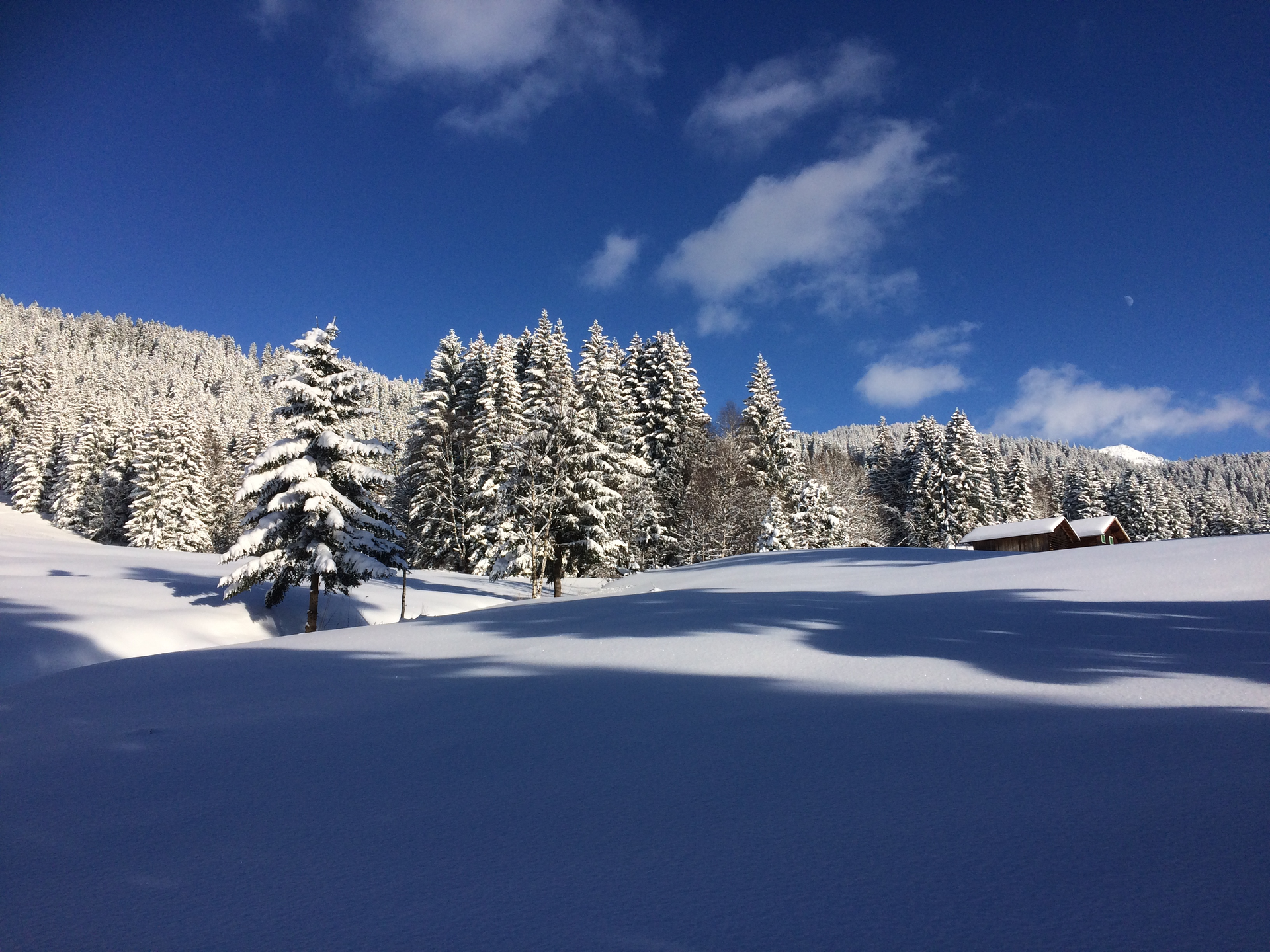
Great Kristberg Round

Moderate
Einkehrmöglichkeit
Rundtour
Winter hiking · Refreshment stops · Round trip
02:00 h duration
4,35 km Länge
1463 m Höchster Punkt
1286 m Tiefster Punkt
177 hm Aufstieg
177 hm Abstieg
Kondition
Technik
Schwierigkeit
Erlebnis
Landschaft

Tourbeschreibung

A very beautiful and scenic winter hike through an idyllic winter landscape on the Kristberg.

Description

The name of the mountain village recalls that precious metals were mined at Kristberg until 500 years ago. Silbertal is the perfect place for mystical legendary figures in a wild romantic natural setting. Here you hear stories about the Teufelsbach, the "Nachtvolk vom Silbertal" (night people of Silbertal), and the great magician "Kupferlari" – reason enough why once a year the idyllic community turns into a theatre stage. There is hardly anyone in the village who hasn't participated in it yet.

After you have gathered enough strength at the Genießerberg Kristberg, you are ready to immerse yourself in the untouched and precious European protected area Verwall. The landscape that opens up in the rear Silbertal is extensive and unique. On hikes along the untamed Litz, you get to know one of the most original areas of Vorarlberg. Because true beauty is often hidden.

Approach

Take the A14 to the Bludenz/Montafon exit and continue on Montafonerstraße L188 to Schruns. Through Schruns, you reach Silbertal.

Public transport

Just leave your car standing

The regional buses run throughout the Montafon. The main lines run every half hour from Schruns station.

Bus stop at the start/finish of the route: Silbertal Kristbergbahn / Line 88

Timetable: www.vmobil.at

Arrival by train to Montafon

From Bludenz station, the Montafonerbahn runs hourly (sometimes every half hour). There are also direct connections from Lindau (D) and from Bregenz.

Timetable: www.oebb.at

Parking

Parking lot at the valley station Kristbergbahn Silbertal (paid)

Directions

The cozy and scenic winter hike starts at the mountain station of the Kristbergbahn and follows the winter hiking trail along the panoramic cross-country ski trail downhill. In the Säga area, you turn right and follow the pink trail markers downhill. The groomed winter hiking trail leads through light forest sections and past maize stands, and after some time you reach the Stelzer exit point. At the Stelzer exit, continue straight ahead and follow the path to the "Totabühel" area. You return to the starting point via Kristbergstraße.

Safety instructions

EMERGENCY CALL: 144
European emergency number: 112 (works with any mobile phone/network)
www.vorarlberg.travel/sicherheitstipps

Equipment

Day hiking backpack (approx. 20 liters) with rain cover, comfortable and waterproof winter boots or sturdy hiking boots, possibly crampons and gaiters, warm and weatherproof clothing in multi-layer principle, hat/headband, scarf, gloves, sun and rain protection, provisions and drinking water, thermos with hot drink, first aid kit, pocket knife, mobile phone, possibly headlamp, map material, optionally telescopic poles

Tips

A visit to the St. Agatha Bergknappenkapelle is recommended. The small chapel is located slightly above the Panoramagasthof Kristberg.

Destination

Mountain station Kristbergbahn

Starting Point

Mountain station Kristbergbahn

Eigenschaften
Routentyp Winter hiking, Refreshment stops, Round trip
Schwierigkeit Moderate
Höhenprofil
Beste Jahreszeit
Jan
Feb
Mär
Apr
Mai
Jun
Jul
Aug
Sep
Okt
Nov
Dez