Due to landslides and new geological findings, the Silvretta High Alpine Road cannot be opened in the 2025 season. It is therefore also closed to bikes. The indicated route is possible up to the Vermunt reservoir, but then you have to turn back. It is unfortunately not possible to take bikes on the Vermuntbahn.
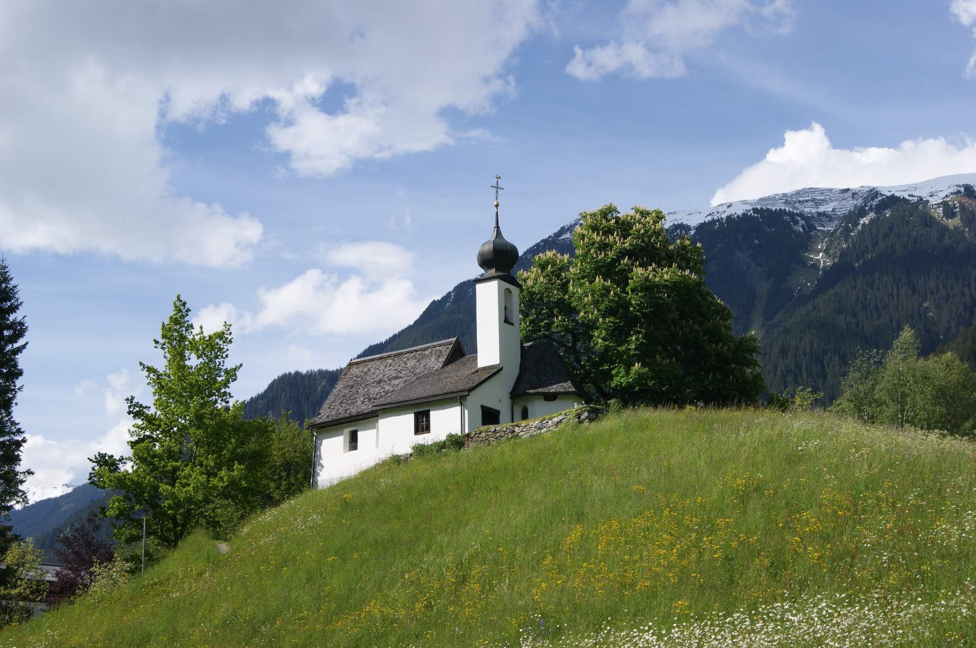
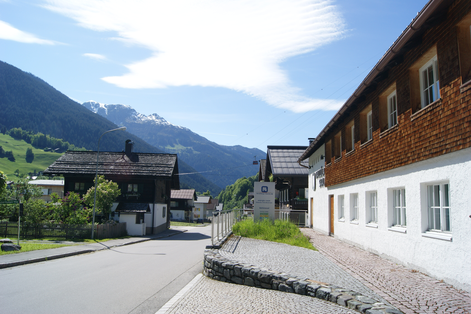
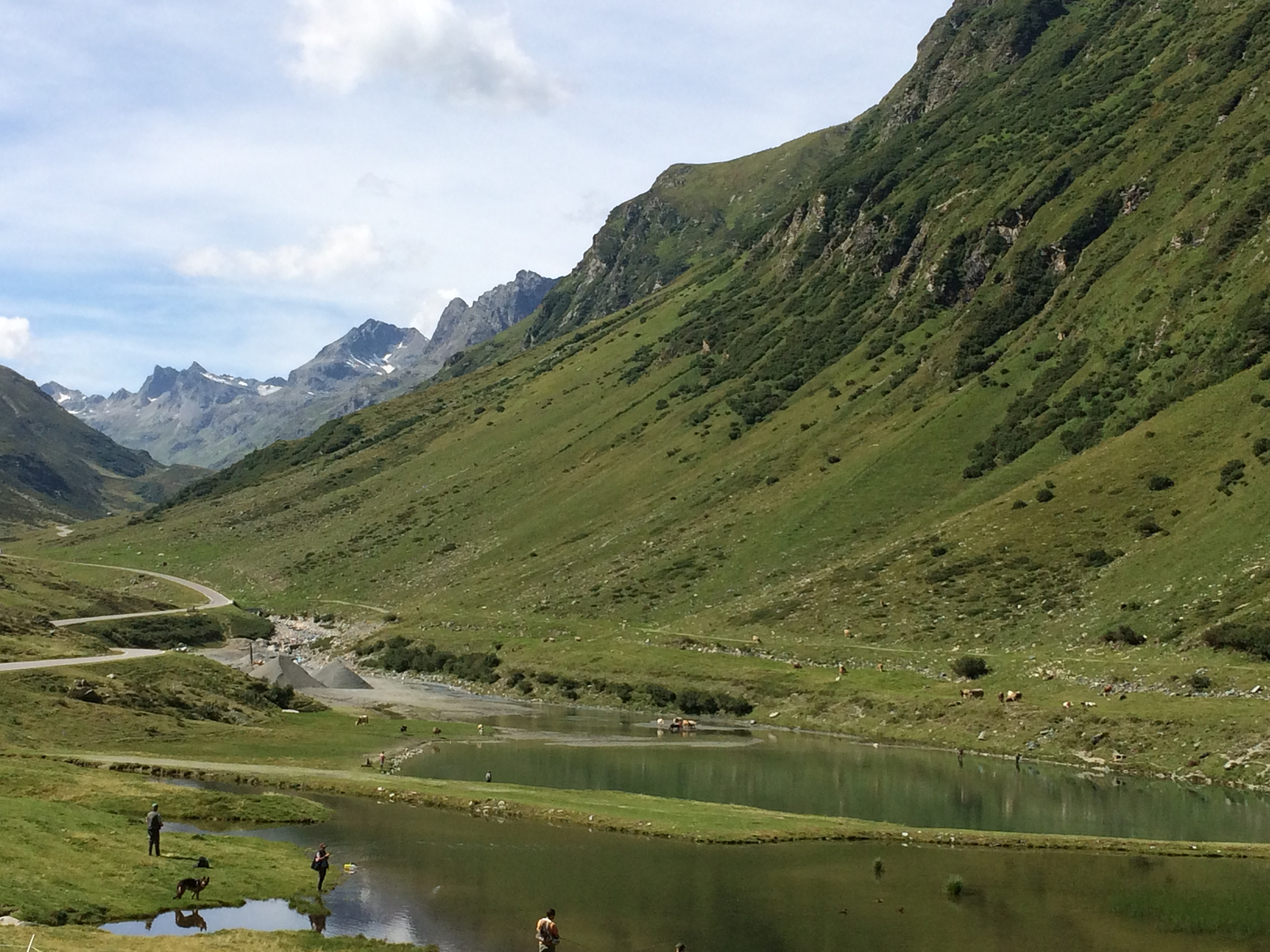
The challenging round starts at Aktivpark Montafon in Schruns-Tschagguns and leads over Schwimmbadstraße and Zelfenstraße into the valley to the Bödmenstein area, a district of Tschagguns. You continue further into the valley along the paved bike path. You pass the towns of St. Gallenkirch, Gortipohl, Gaschurn, and Partenen one after another. From St. Gallenkirch it becomes increasingly clear that the gradient increases more and more. At the end of Partenen you reach the toll station of the Silvretta High Alpine Road. About 1000 meters of altitude are conquered in 36 hairpin bends on the Silvretta High Alpine Road. The first lake you pass is the Vermuntsee at about 1800 meters above sea level. You still have a few hairpin bends to overcome until you reach the Silvrettasee at 2,032 meters. The panorama becomes ever more magnificent. Foremost you have Piz Buin with 3,312 m, the highest mountain in Vorarlberg, right in the field of view. It is best visible at the beginning of the parking lot at Silvrettasee. After a refreshment, the rapid descent begins into neighbouring Tyrol. Through the Paznaun Valley, you race downhill past a lake landscape. Shortly afterwards you reach the junction leading up to Kopssee. Turn left and follow Zeinisstraße upwards. Hazel bushes adorn the roadside. After the ascent, you reach Kopssee at 1809 meters above sea level. On the way to Kopssee, you leave Tyrol and cycle back on Vorarlberg soil. At the very end of Zeinisstraße, you are in the parking lot directly at Kopssee. It is impressive to admire the curved dam of Kopssee. An interesting architectural work. Then the rapid descent begins down through Inner- and Außerganifer to Partenen. In many hairpin bends, it goes quickly down. In the Außerganifer area, it's worth stopping briefly. Turn around and you can see how many meters of altitude you have already mastered. In addition, the curved dam can be viewed again from below. It continues on the old road from Ganifer downhill. The round closes at the second hairpin bend of the Silvretta High Alpine Road. It goes back to Schruns via Montafonerstraße. In the Bödmenstein area, it is up to you if you want to ride the loop to Schruns. It goes into the center of Schruns via Silvrettastraße and then over Wagenweg you reach Aktivpark Montafon. If you are already tired, you can cycle back the same way via Zelfenstraße and Schwimmbadstraße to Aktivpark Montafon.