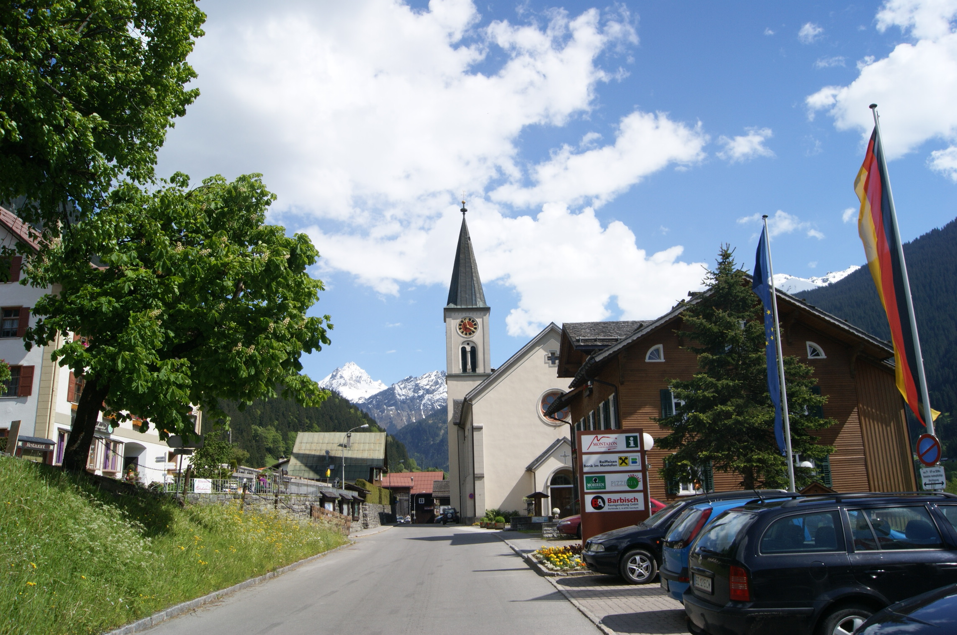
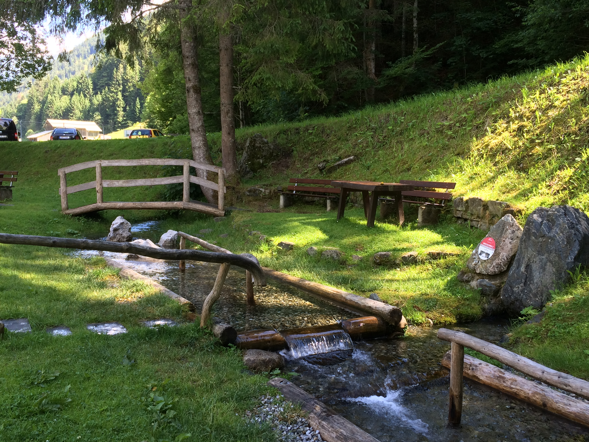
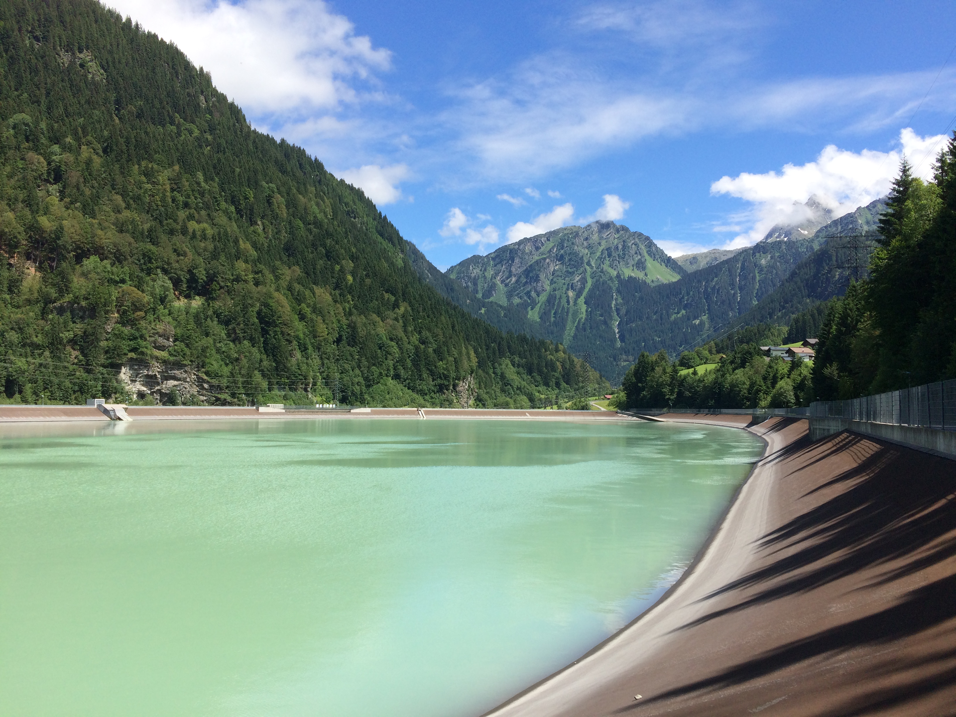
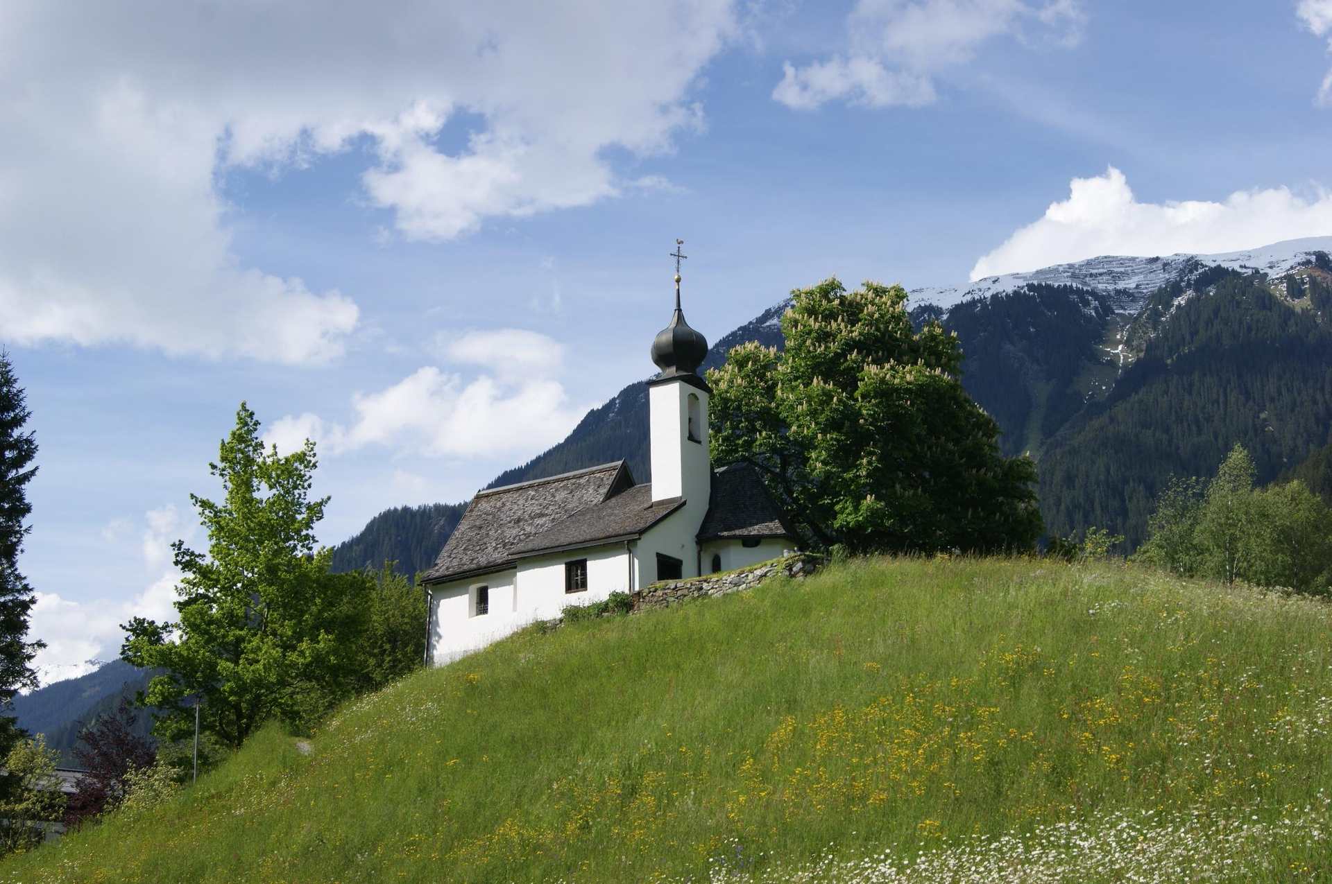
The bike ride starts in Lorüns town center and follows the green signposted bike path downstream. After the town of Lorüns, a first challenging climb begins. Along the road and past the sewage treatment plant, you reach the Venser Bild chapel uphill. There, turn left and follow the bike path directly along the Ill downstream. Via the towns Vandans, Gantschier/Kaltenbrunnen, you then reach Tschagguns. At the Rätikon junction, you cross the road and follow the signs downstream. You pass the Montafon activity park (white tent) and shortly after cycle along the golf course to Bödmenstein, a district of Tschagguns. From Bödmenstein, the path crosses a bridge to the other side of the Ill. Along the left side of the Ill, the bike path continues. It is quite shady up to the next bridge and pleasantly cool. Then you change back to the other side of the Ill. At the Maurentobel tunnel, the bike path leads left over the old road downstream. It goes slightly uphill briefly. The detour around the tunnel takes about 10 minutes. At the end of the road, the bike path runs directly along the main road downstream. It passes the Badmunt forest campsite and a little later the St. Gallenkirch municipal yard. About 20 minutes later, you reach the valley station of the Garfrescha cable car. From the municipal yard in St. Gallenkirch, you can clearly feel the incline increasing. You will sweat a lot. In Gortipohl, it is recommended to take a short break. At the crossing of the Blendolmaweg (Marlin saw), the Kneipp facility "Brönna" is not far from the bike path. A round of Kneipp therapy is good for health and also a refreshment for in between. Fresh drinking water is also available, and you can fill your water bottle with cool fresh spring water because it is still a bit of a way to Partenen. Refreshed and strengthened, you return to the Marlin saw and then turn right, following the bike path to the Mountain Beach leisure park. A few minutes later, you reach the Spar grocery store. There, the bike path leads left uphill into the town center. By the tourist office, parish church, Tanzlaube, and alpine and tourism museum, it continues along the village street downstream. At the end of the village street, it continues a short distance along Montafonerstraße. Shortly after, turn right and follow the signs up to the Rifa basin. On the right side of the basin, the bike path leads along the lake at the forest edge. After the lake, it goes down slightly, crosses the Ill, and the bike path leads directly past the Rifa climbing garden (rest and picnic area). Now it is not far. After about 15 minutes, you reach the town center of Partenen. In Partenen, numerous dining options are available. Refreshed and strengthened, you then return over the same route to the starting point.