Emil​-​Roth​-​Weg in the Verwall European protected area

Difficult
geschlossen
Rundtour
Hiking · Round trip
09:00 h duration
25,9 km Länge
2417 m Höchster Punkt
1354 m Tiefster Punkt
1177 hm Aufstieg
1177 hm Abstieg
Kondition
Schwierigkeit
Erlebnis
Landschaft

Tourbeschreibung

Lower Gaflunaalpe - Putzkammeralpe - Staffelalpe - Gafluner Winterjöchle - Gafluna Lake - Emil-Roth-Weg - Langsee - Upper Freschalpe - Schwarzsee - Lower Freschalpe - Lower Dürrwaldalpe - Lower Gaflunaalpe

Description

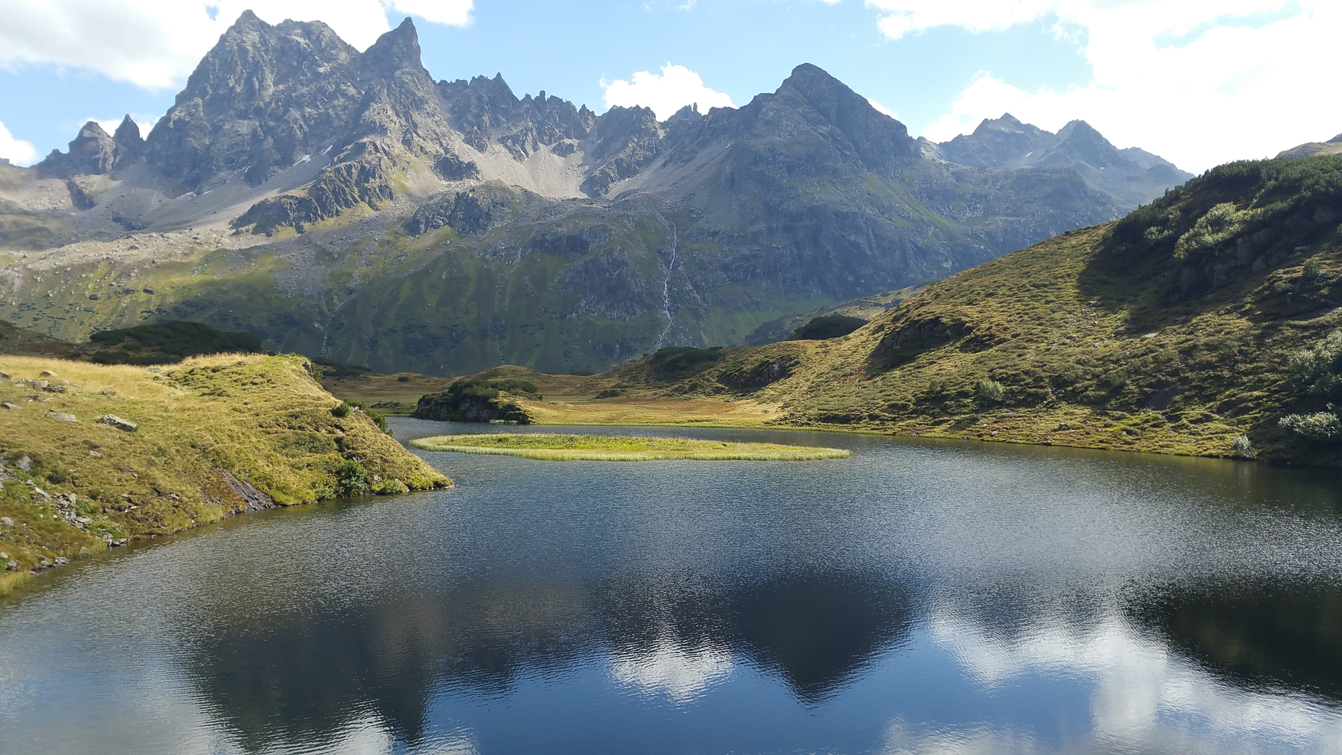
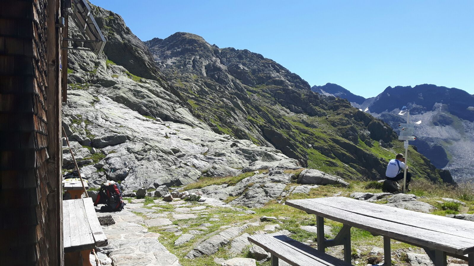
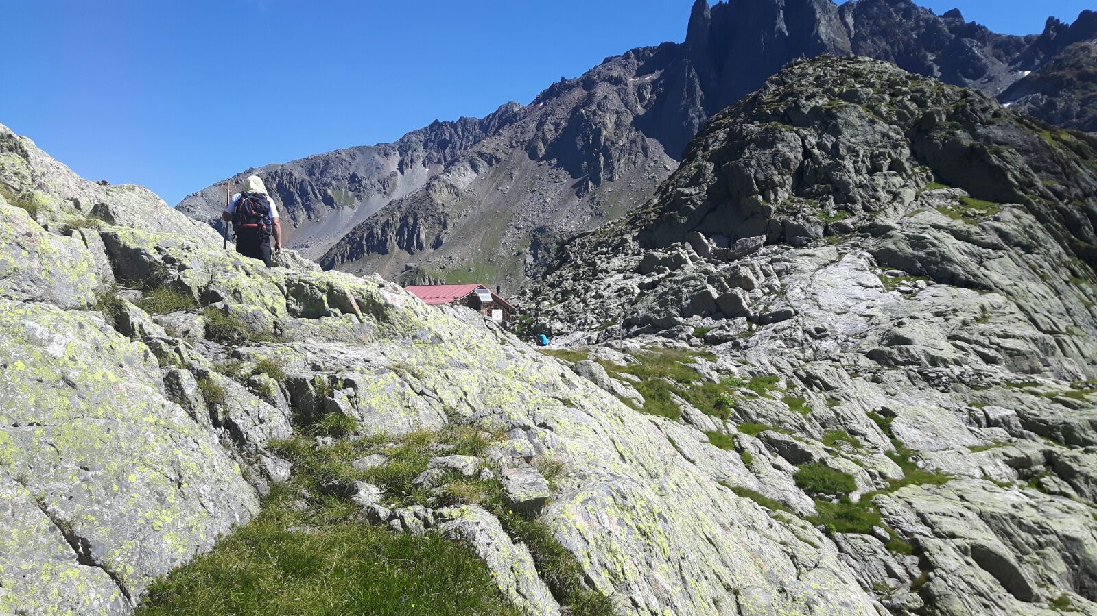
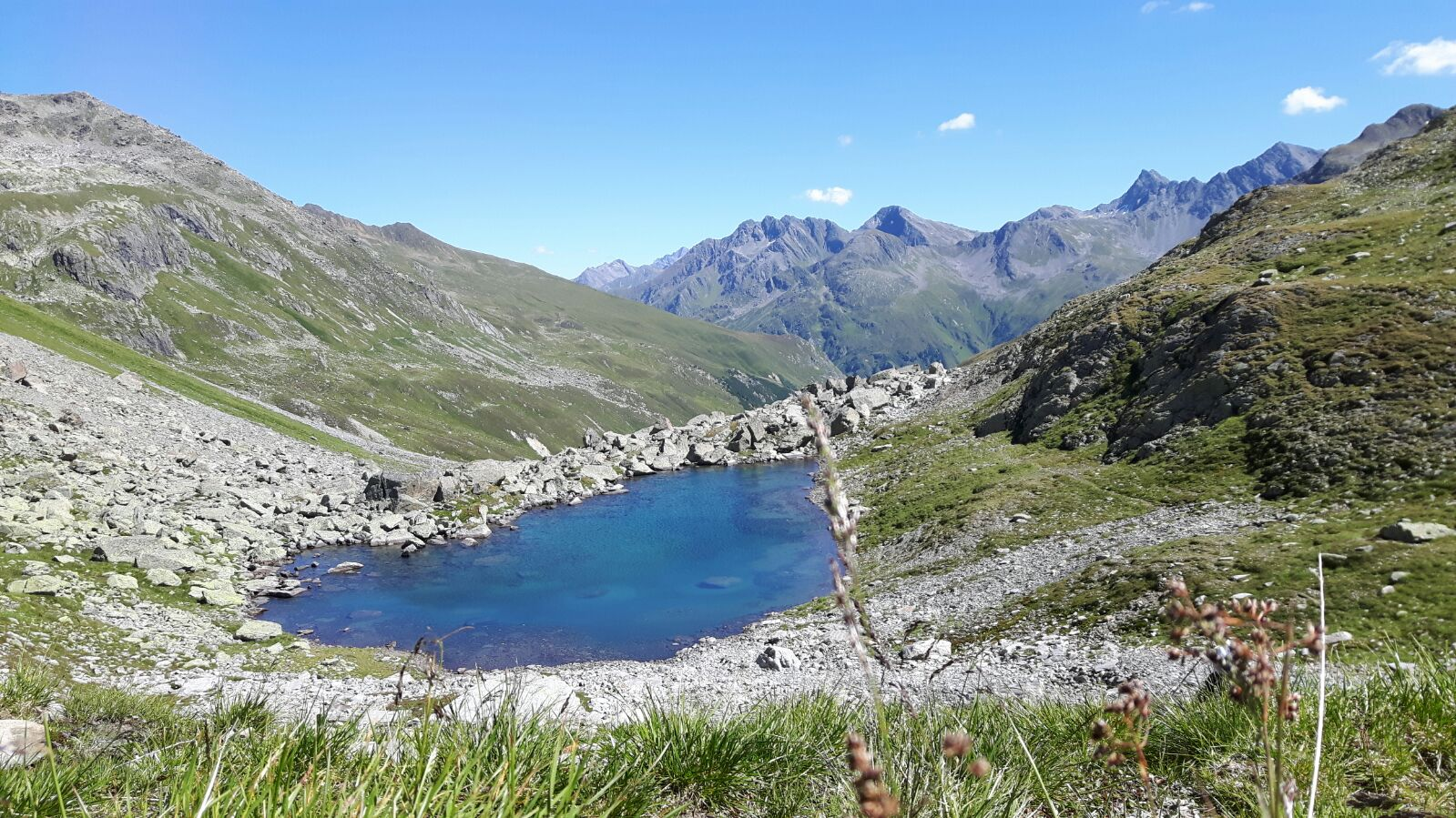
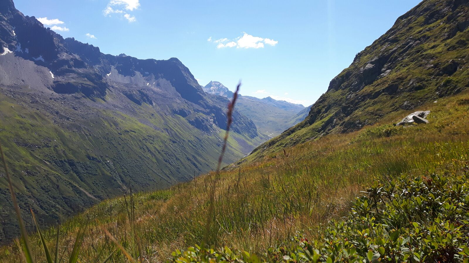
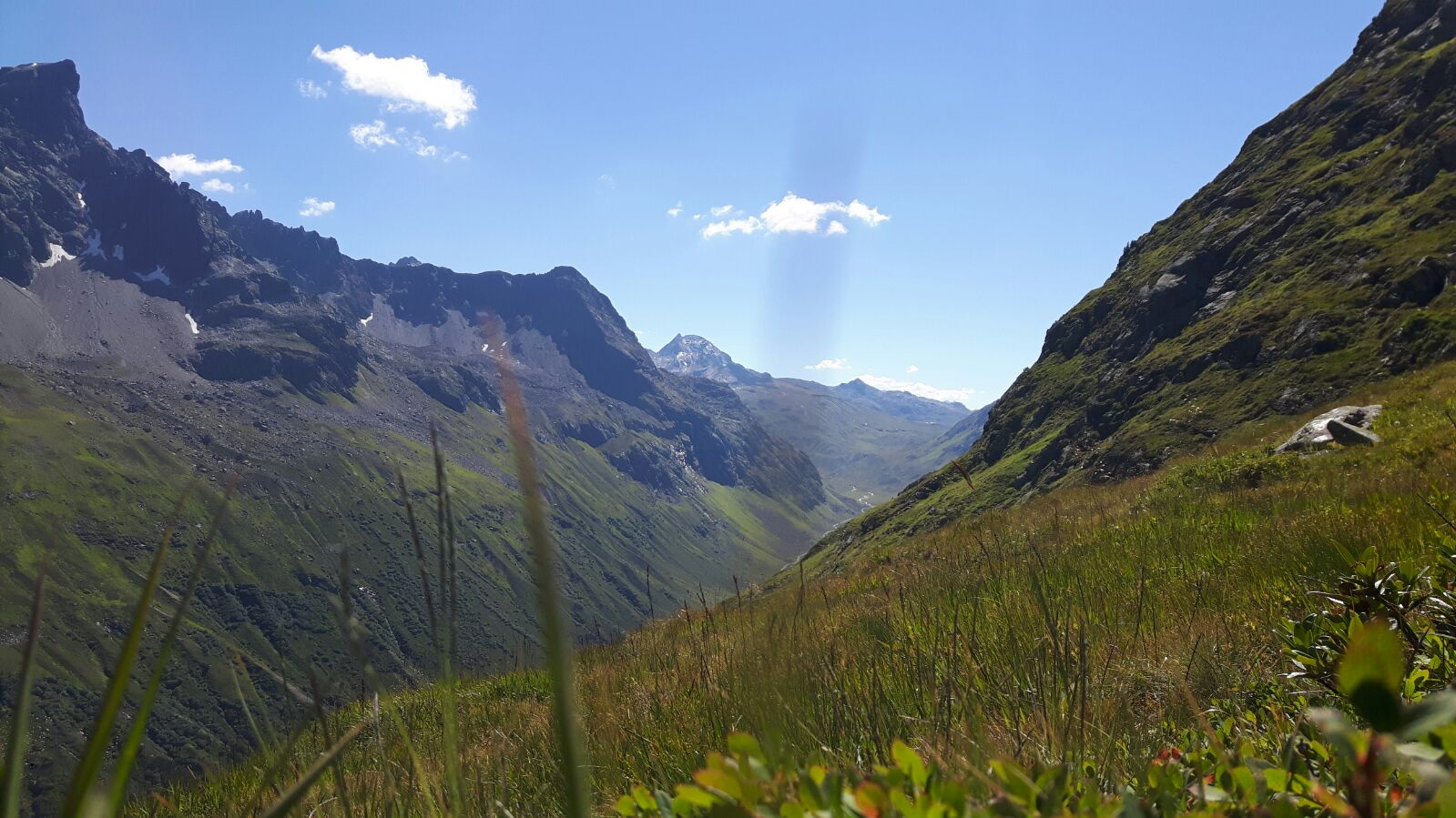
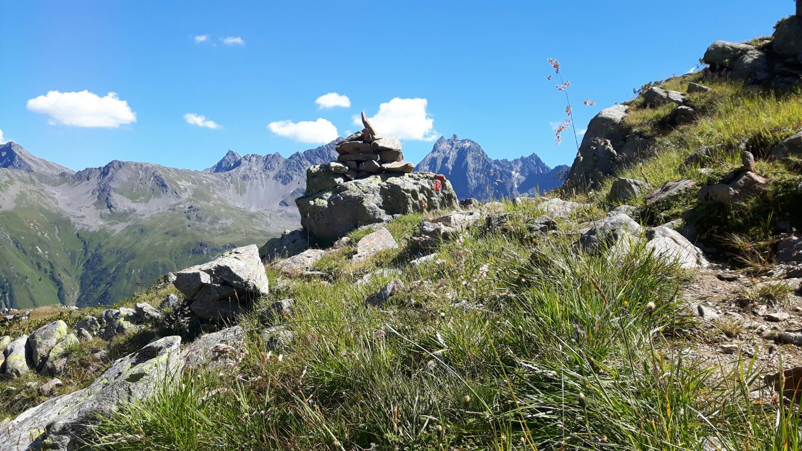
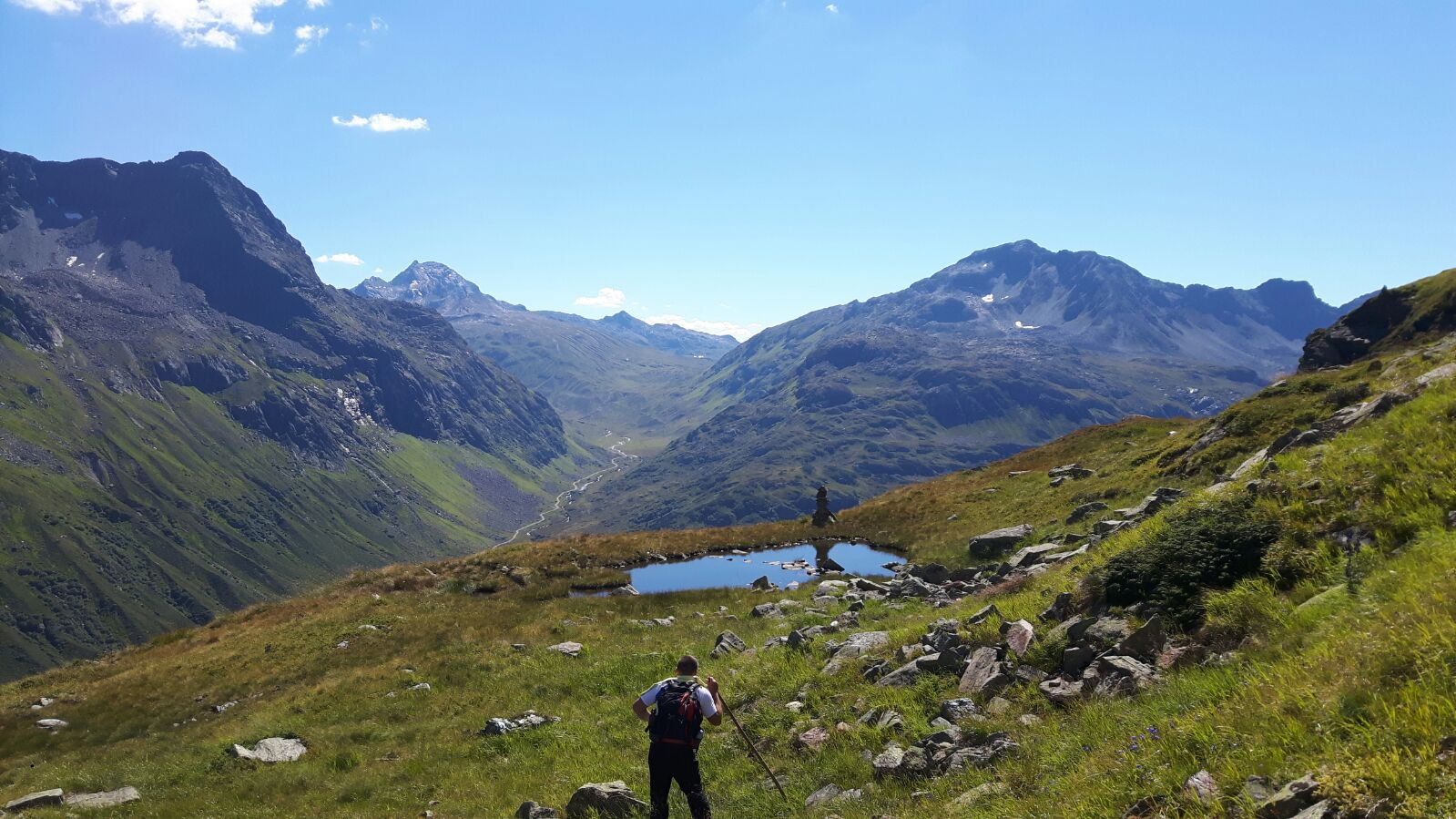
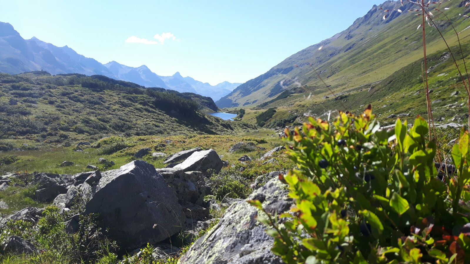
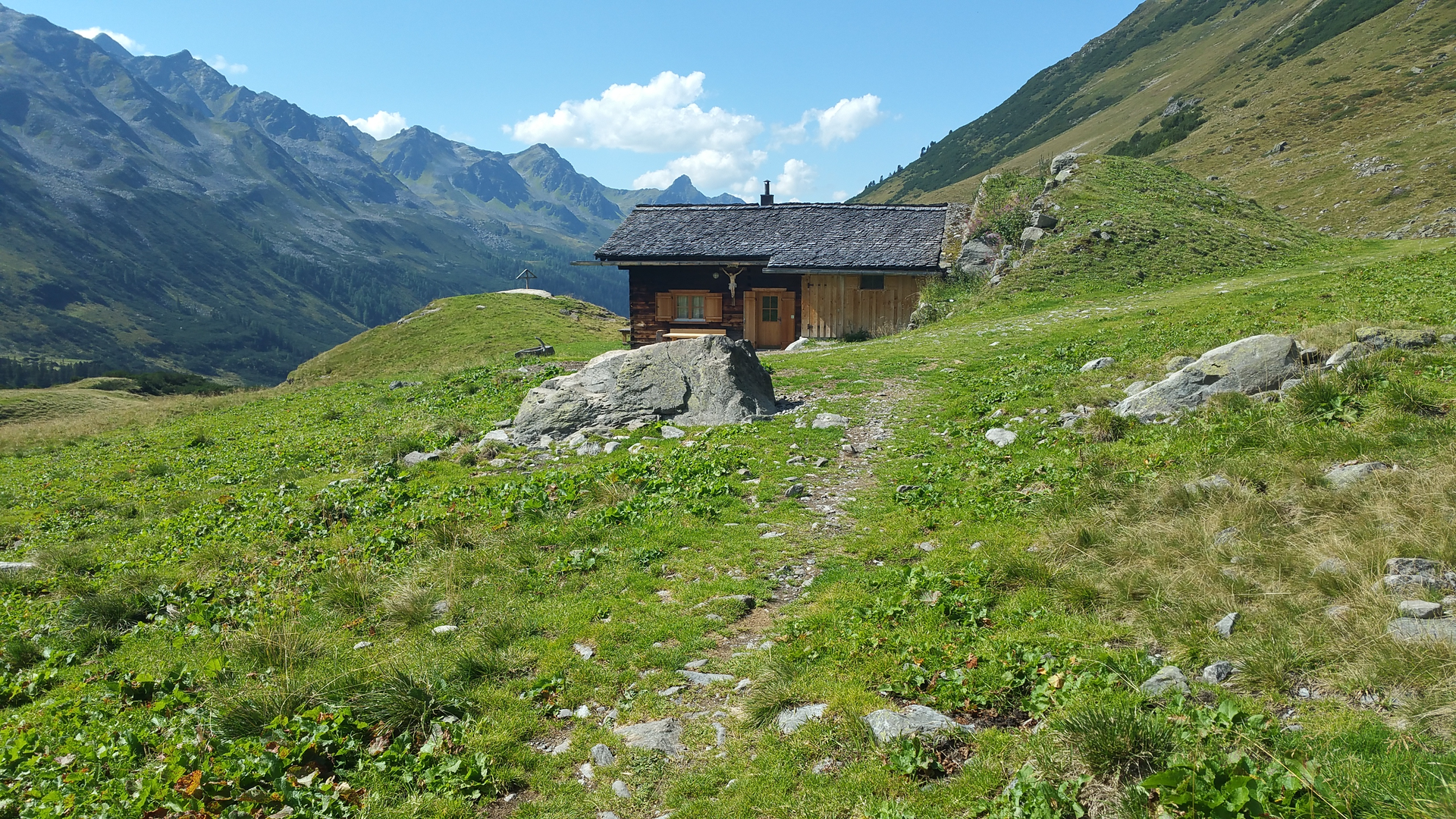
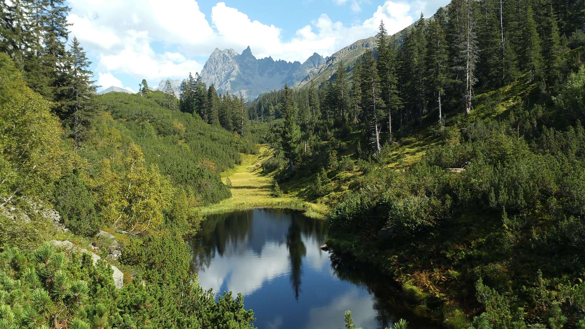
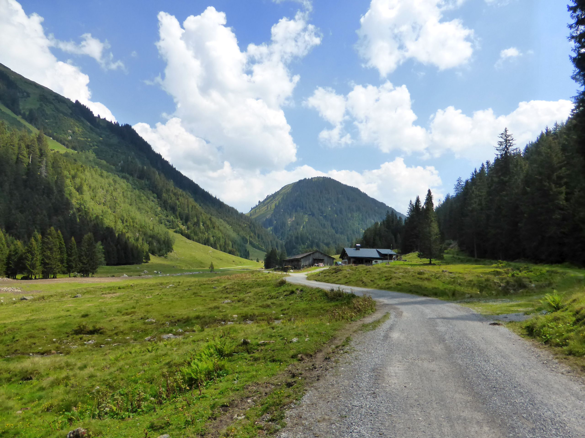
A beautiful and scenic hike in the Verwall European protected area.

Due to a rockfall, the path is closed until the end of 2025!

The European protected area, also called the Natura 2000 Verwall area on the border with Tyrol, is an important component of Vorarlberg's Natura 2000 network due to its large area and tranquility. The little-developed mountain terrain is habitat and retreat for many mountain plants and shy animals. These include chamois and the golden eagle as well as the ptarmigan and the Krautweide, the "smallest tree in the world," which only protrudes a few centimeters from the ground.

To get to the starting point, you can take the hiking bus to the Lower Gaflunaalpe.

The hiking bus to Lower Gaflunaalpe must be registered by 5:00 pm the day before at the Silbertal citizen service office. Tickets can only be purchased there or on montafon.at/wanderbus-silbertal.

Start and end times as well as departure times and other information can be found here:

www.montafon.at/wanderbus

Contact:

Silbertal Citizen Service Office

+43555674104

buergerservice@silbertal.at

Monday-Friday:

7:30 am - 12:30 pm

Approach

Drive on the A14 to the Bludenz/Montafon exit and continue on Montafonerstraße L188 to Schruns. From Schruns, you reach Silbertal.

Public transport

Just leave your car standing

The regional buses run throughout the Montafon. The main lines depart every half hour from Schruns train station.

Bus stop at the start/finish of the route: Silbertal Kristbergbahn / Line 680

The boarding point for the hiking bus can be reached a few meters further down the valley. After the large Kristbergbahn parking lot is the fire station, which is also the departure point.

Timetable: www.vmobil.at

Traveling to Montafon by train

The Montafoner railway runs hourly from Bludenz train station (sometimes every half hour). There are also direct connections from Lindau (D) and Bregenz.

Timetable: www.oebb.at

Parking

There is a parking lot at the valley station of the Kristbergbahn in Silbertal (paid).

Directions

The challenging circular route starts at the Lower Gaflunaalpe and leads through the Gafluna valley to the New Reutlinger Hut. At the hut, orient yourself towards the Gafluner Winterjöchle. Now you hike on the Emil-Roth-Weg and on Tyrolean soil. You leave Vorarlberg and hike around the Drosberg towards the Silbertaler Winterjöchle. Shortly before, follow the path to Langsee. Via the Upper Freschalpe, Schwarzsee, Lower Freschalpe, and Dürrwaldalpe you return to the Lower Gaflunaalpe. The stop for the hiking bus can then be reached in 5 minutes.

TIP: We recommend you use the Silbertal hiking bus for arrival and departure. The return trip is arranged on the outbound bus. The New Reutlinger Hut is a self-catering hut.

Safety instructions

EMERGENCY CALL: 144

European emergency number: 112 (works with any mobile/ network)

www.vorarlberg.travel/sicherheitstipps

Equipment

Sturdy and high footwear with good tread is recommended. A head covering, sun protection, and hiking poles are also recommended, as well as bringing food and drinks.

Tips
Destination

Hiking bus stop near the Lower Gaflunaalpe

Starting Point

Hiking bus stop near the Lower Gaflunaalpe

Eigenschaften
Routentyp Hiking, Round trip
Schwierigkeit Difficult
Höhenprofil
Beste Jahreszeit
Jan
Feb
Mär
Apr
Mai
Jun
Jul
Aug
Sep
Okt
Nov
Dez