Via the high-altitude path and Matschuner Joch to the Heimspitze near Gargellen
Hiking
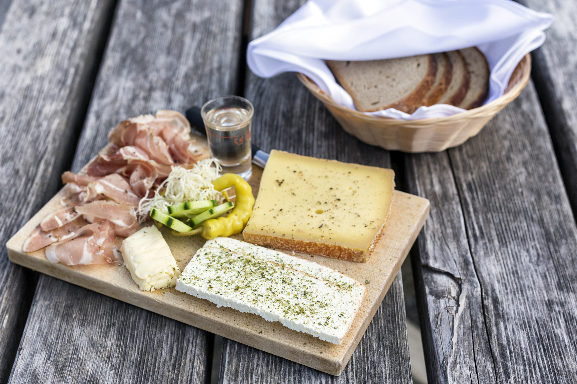
· Refreshment stops