BACK TO THE ORIGIN – TIME STANDS STILL IN VERGALDA.
“Years ago, I was asked in a larger group which area of Vorarlberg I consider the most beautiful. Without hesitation, I answered: Vergalda.” said Johann Schwimmer, one of Vorarlberg's first conservationists, enthusiastically in a 1927 newspaper article about Vergalda.
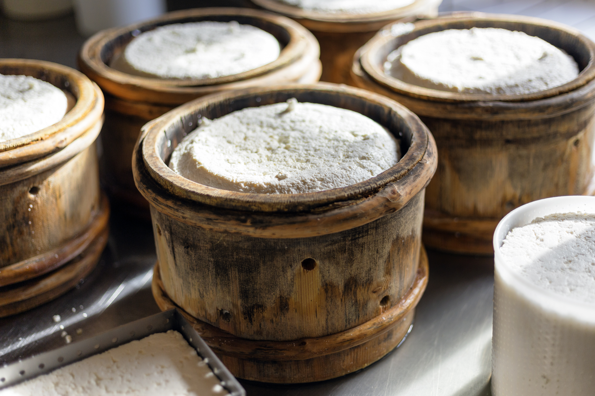
Even today, you could think that time has stood still in this side valley of Gargellen. The name Vergaldatal refers to the Romansh "Val calda", meaning warm valley. And indeed, because of its special location, Vergalden is always somewhat warmer than the rest of Gargellen. The local climatic peculiarity of this district is also reflected in its diverse botany, truly unique. Johann Schwimmer raved in his report about the plant diversity in Vergalda: "Blue bellflowers alternate with red and white red campions, yellow and orange-red hawkweeds with the hair tufts of alpine anemones. Arnica, pigweed, lady's mantle, yellow-flowering cinquefoil, and the brightly red blossoms of the trailing alpine rose complete the picture." It was no coincidence that in 1927 he proposed declaring the Vergalden Alp a plant protection area. The Vergaldaalpe used to be one of the largest cows' Alps and is today the last dairy alp in the Gargellen valley. It is a popular destination for hikers, mountain bikers, and especially families. Due to its high alpine character, the Vergaldatal is also an important habitat for red deer, chamois, and ibex.
Those leaving the Vergaldaalpe and heading back to Gargellen will encounter the "Muntafuner Pääärli." This couple depicted in rock wearing Montafon traditional costume seems to silently bid farewell to passers-by, welcoming them back anytime to the most beautiful area of Vorarlberg.