Madrisa Rundtour ​(​1​-​day Gargellen​)​ ​-​ Mountains know no borders

Difficult
Einkehrmöglichkeit
Rundtour
Hiking · Refreshment stops · Round trip
08:00 h duration
21,6 km Länge
2603 m Höchster Punkt
1436 m Tiefster Punkt
1023 hm Aufstieg
1697 hm Abstieg
Kondition
Schwierigkeit
Erlebnis
Landschaft

Tourbeschreibung

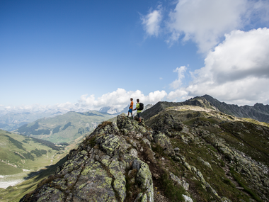
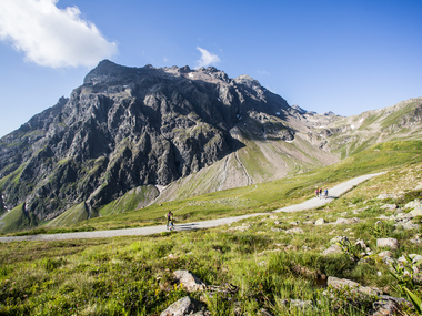
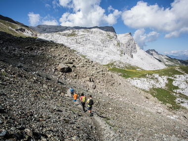
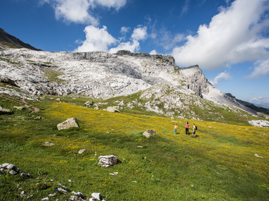
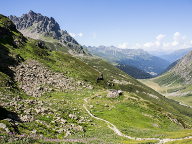
Magnificent panoramic views, interesting geological and botanical diversity, but also historical paths in the border area between Austria and Switzerland.
Description

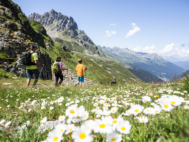
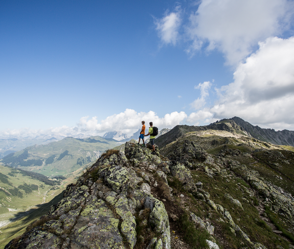
Sporty, challenging, breathtaking – the Madrisa Rundtour offers you a special kind of border experience. The Rätikon pass hike from Gargellen leads you through the distinctive Madrisa massif at over 2,000 meters and crosses international borders. Where smugglers once operated, today well-passable paths provide you with a unique natural experience that will impress you sustainably.

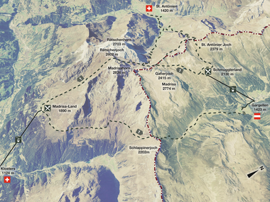
The one-day circular route runs on marked alpine trails from the mountain station of the Gargellen cable cars over the Gafierjoch into the Madrisa land above the Swiss monastery. The return is via the Schlappinerjoch back to Gargellen.

Stamina and fitness are required, but you will be rewarded with unique views. With seven hours of hiking in a high alpine setting, you may reach your limits. Therefore, we recommend doing the Madrisa Rundtour with a Montafon mountain guide who tells exciting stories from the time of pack carriers and smugglers.

Approach

Coming from Bludenz, take the Bludenz/Montafon highway exit and follow the L188 into Montafon until St. Gallenkirch. There you turn right into Gargellnerstraße and follow it up to Gargellen.

Public transport

Just leave your car standing

Country buses operate throughout the Montafon. The main lines run every half hour from Schruns train station.

Bus stop at the start/end of the route: Gargellen Schafbergbahn/ Line 670

Timetable: www.vmobil.at

Arrival by train to Montafon

From Bludenz station, the Montafonerbahn runs hourly (sometimes half-hourly). There are also direct connections from Lindau (D) and Bregenz.

Timetable: www.oebb.at

Parking

Parking lot Bergbahnen Gargellen

Directions

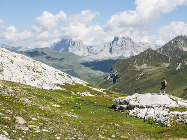
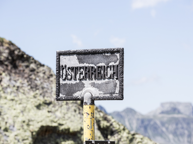
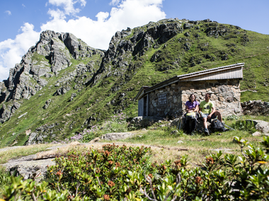
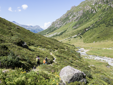
The first elevation meters are made with the Schafbergbahn cable car. The hike starts at the Schafberg Hüsli mountain restaurant. You follow the signs towards Gafierjöchli. You pass by the Schafbergsee (reservoir lake). You reach the Gafierjöchli from the mountain station in about 1 hour. Upon arrival at the Gafierjöchli, the Austrian/Swiss border is crossed for the first time. The hike continues on Swiss soil. Now there is a short and somewhat steep descent before you begin the ascent towards Rätschenjoch. From Gafierjoch you reach Rätschenjoch in about 1.5 hours. Upon arrival at Rätschenjoch, you have reached the highest point of the hike. You can enjoy views of the Bernina group, the Rätikon, and the Silvretta. From here, the route continues over the Schafcalanda and the Älpli - following the hiking signs towards Schlappiner Joch. It passes the mountain station of the Madrisa drag lift and the trail leads over alpine meadows past several small mountain lakes. After a short ascent, you reach Schlappiner Joch and cross the border again to Austria. From Schlappiner Joch the descent begins and the hike leads through the Valzifenztal. Shortly after, you reach the customs hut. According to the signpost at Schlappiner Joch, you reach the upper Valzifenzalpe in about 45 minutes. From the upper Valzifenzalpe, you reach Madrisahütte in about 40 minutes via a wide path. Upon arrival at Madrisahütte, you can turn left over the bridge. A beautiful hiking trail runs along the river. From Madrisahütte you reach the valley station of the Gargellen cable cars in about 35 minutes.

Safety instructions

EMERGENCY CALL: 144

European emergency number: 112

www.vorarlberg.travel/sicherheitstipps

Note: Most mobile phone contracts do NOT include data roaming for Switzerland, so high costs may be incurred.

Equipment

Day hiking backpack (approx. 20 liters) with rain cover, sturdy and comfortable footwear, weather-appropriate and durable clothing in a layered system, if applicable telescopic poles, sun and rain protection, provisions and drinking water, first aid kit, pocket knife, mobile phone, if applicable headlamp, map material

Tips

Select your desired route and book your package online at www.madrisa-rundtour.com and you will receive discounted cable car tickets and our goodie directly at the valley station in Gargellen.

Detailed information at www.madrisa-rundtour.com

Destination

Gargellen, Schafbergbahn valley station

Starting Point

Gargellen, Schafbergbahn valley station

Eigenschaften
Routentyp Hiking, Refreshment stops, Round trip
Schwierigkeit Difficult
Höhenprofil
Beste Jahreszeit
Jan
Feb
Mär
Apr
Mai
Jun
Jul
Aug
Sep
Okt
Nov
Dez