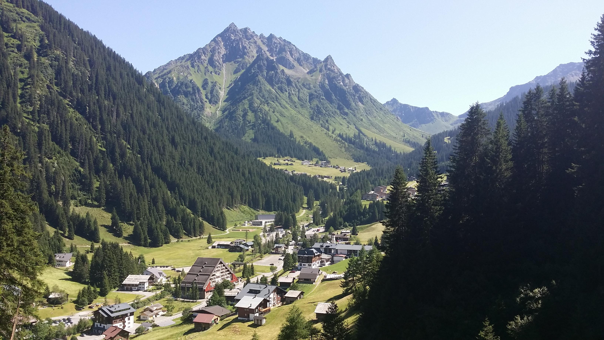
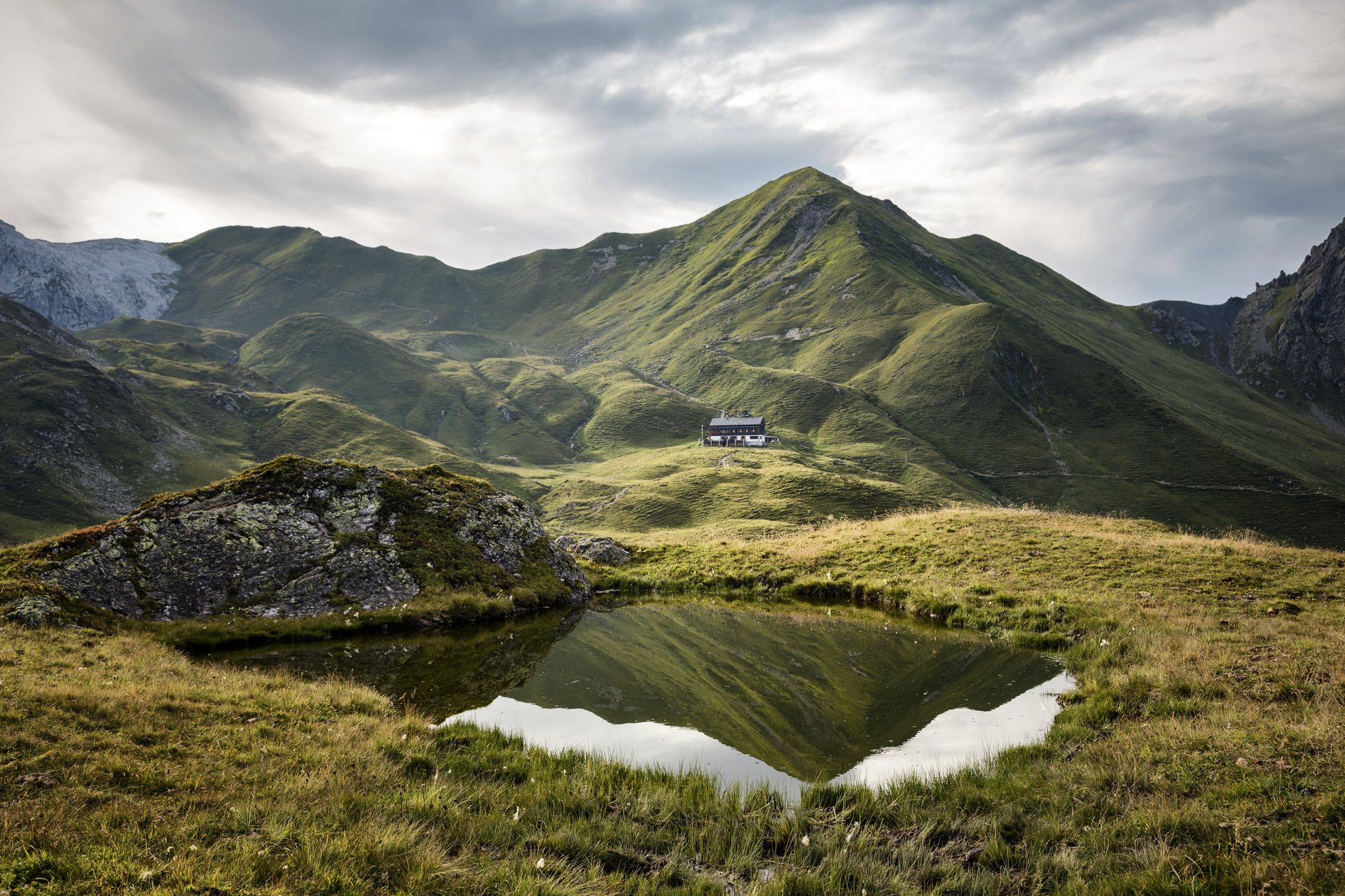
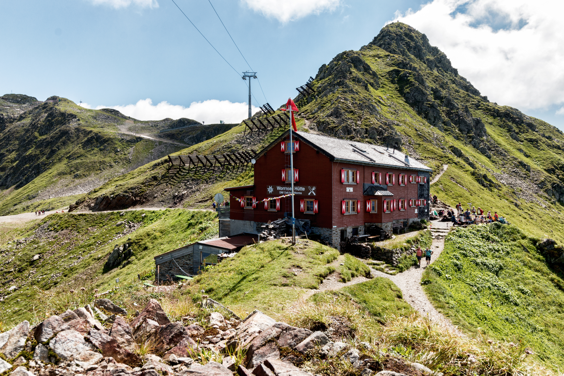
Stage 1: Silbertal to Wormser Hut
From Silbertal center, a path leads you through the shadow forest to Innerkapellalpe. From there you continue hiking uphill to the Surblies viewpoint (1,985 m). Passing beautiful mountain lakes, the route continues to the Wormser Hut.
Walking time about 4:15 hrs // about 8.6 km // ascent 1,429 m, descent 8 m
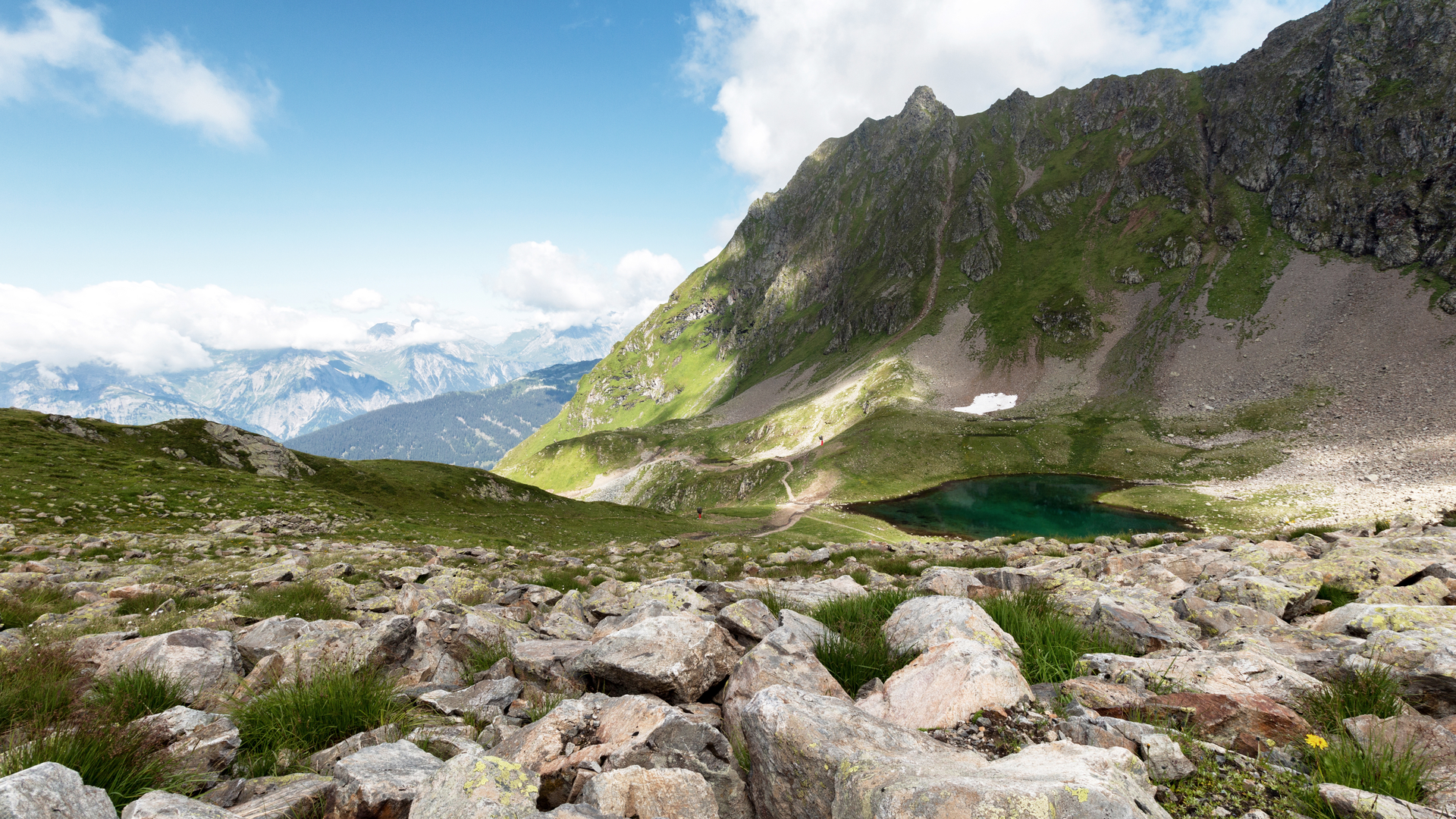
Stage 2: Wormser Hut to New Heilbronner Hut
From Wormser Hut the path leads up to Kreuzjoch and then down to Furkla. This is followed by a gentle ascent to Wormser Törl and further on to Roßbergjoch. On further ups and downs, the path runs below the Valschavieler Maderer through the breathtaking high landscape of this valley. In the last section, we recommend the path over the Gaschurner Winterjöchle with the beautiful Kessisee and Valschavielsee. A slightly shorter way would be via the Valschavieljöchle, but it is not as beautiful.
Walking time about 8:30 hrs // about 22.2 km // ascent 1,346 m, descent 1,341 m
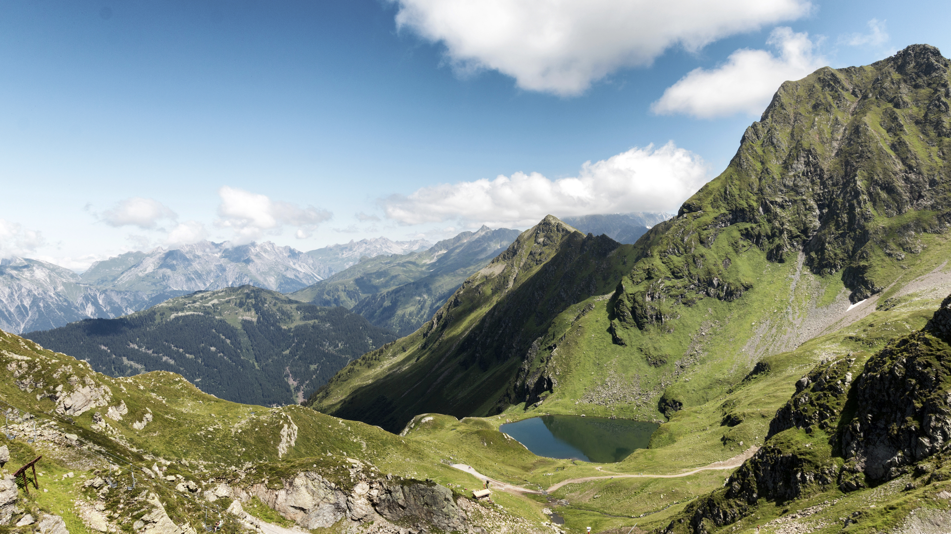
Stage 3: New Heilbronner Hut to Madlenerhaus
From New Heilbronner Hut the path leads on a forest road to Verbella Alpe and further to Kopssee. Here begins the very beautiful Vallüla path, revitalized in 2013. The somewhat demanding ascent first leads to the very idyllic Vallülasee and then, following the Bielerhöhe signpost, to the upper mountain lake. Between the Vallüla and the little Vallüla, the path leads around large boulders up to the saddle. From the signpost at the saddle, you reach the Bielerhöhe in about 1.5 hours.
At Kopssee there is the possibility to shorten the tour by bus (Kops GH Zeinisjoch to Silvrettasee) by 13 km or 5:30 hrs – this bypasses the "Vallüla path" section.
Walking time about 8:15 hrs // about 18.3 km // ascent 928 m, descent 1,192 m
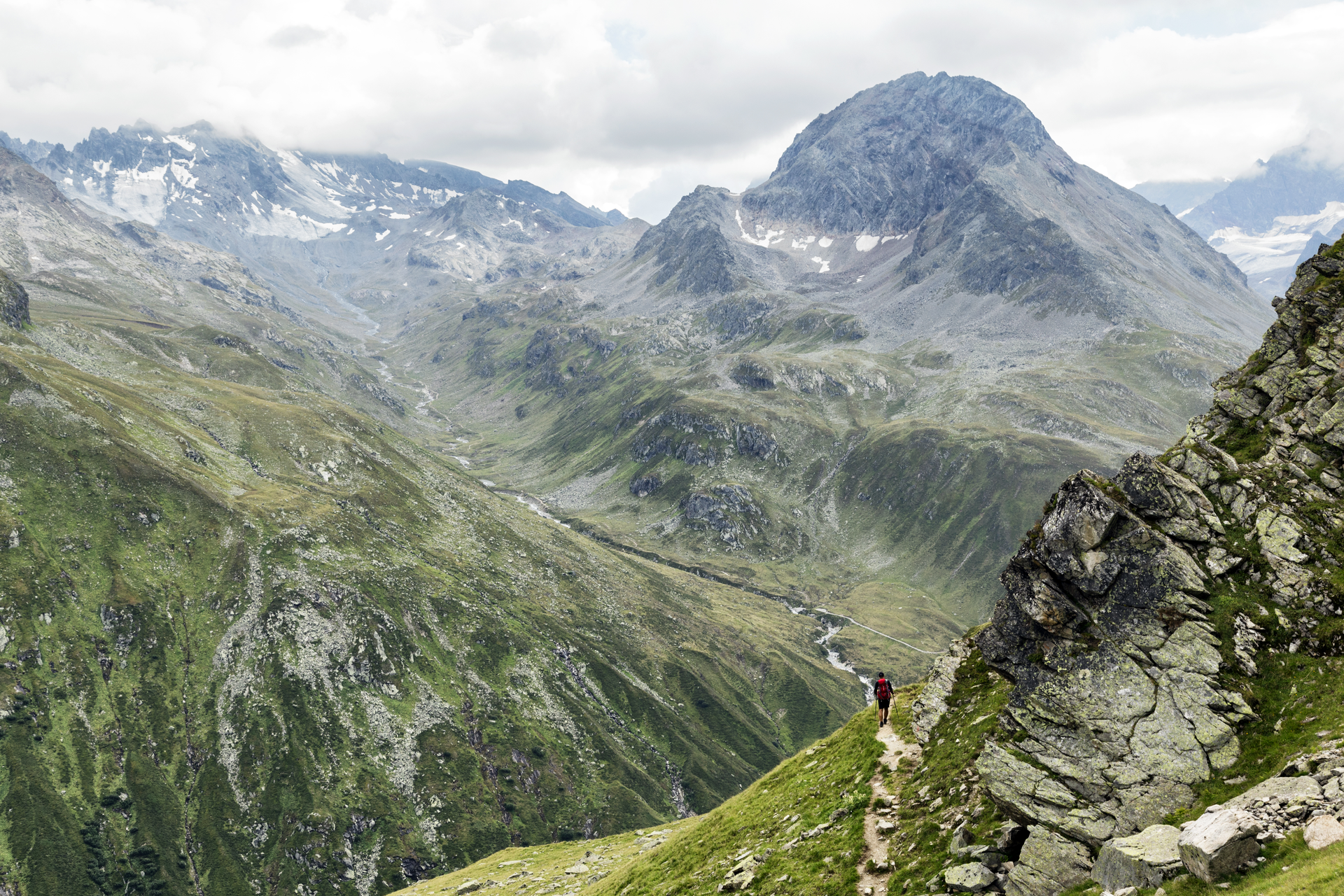
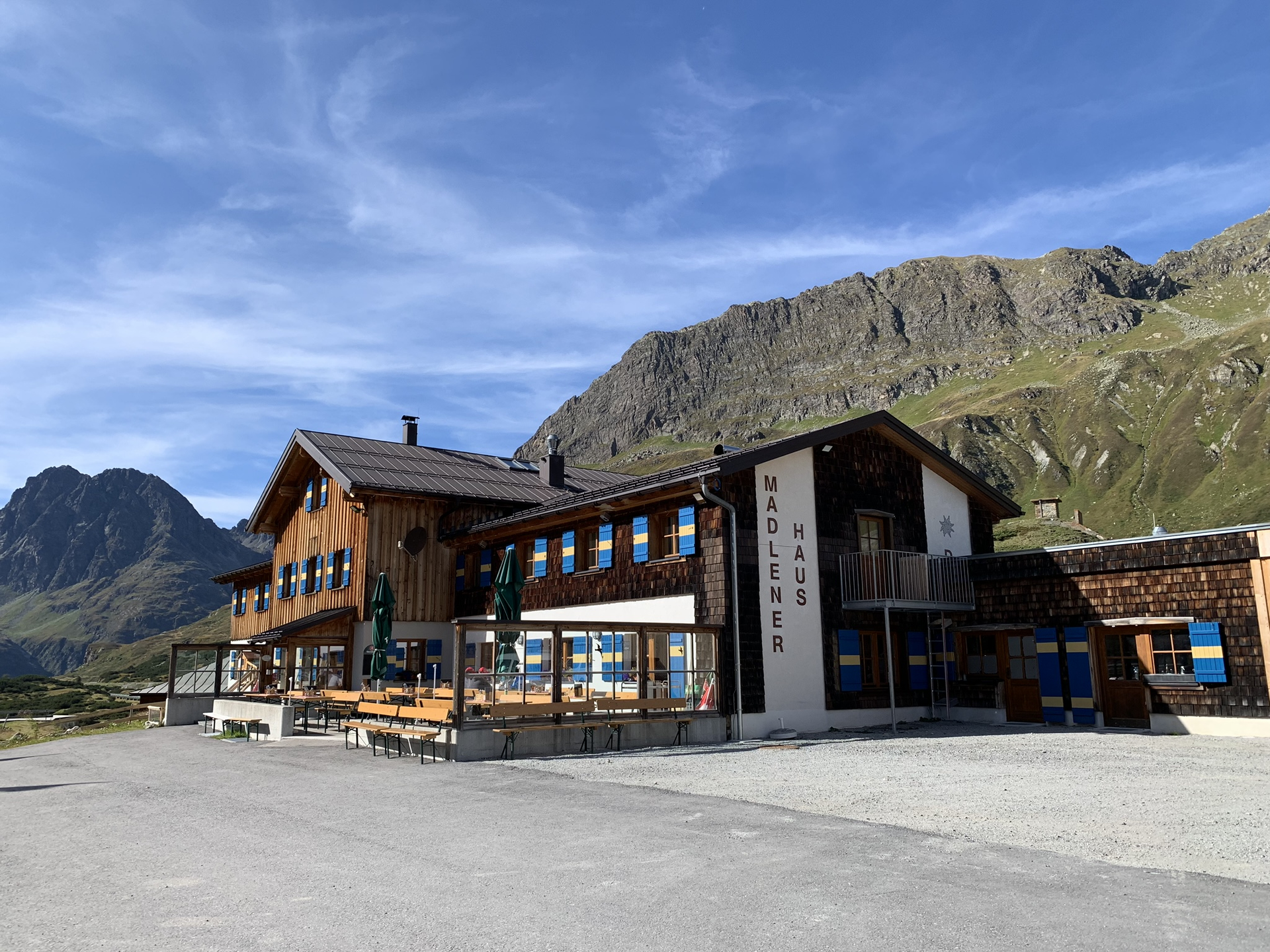
Stage 4: Madlenerhaus to Wiesbadener Hut
You move in a semi-circle around the mighty Hohe Rad, almost making a loop. The start of this route is for you at Silvrettasee. After a short stretch along Silvrettasee, you turn into the Bieltal. Landscapically, a real highlight awaits you in Bieltal. Constantly with the Bieltal Glacier before you, you walk surrounded by nearly 3,000-meter-high mountains towards the next highlight, the Radsattel. Past Radsee, you finally reach the Radsattel. The Radsattel offers you a wonderful view of the Ochsental Glacier and Piz Buin, Vorarlberg's highest mountain with 3,312 m. The entire Silvretta massif lies impressively beautiful before you. Do not start too early to reach Wiesbadener Hut but enjoy this fantastic view. You reach Wiesbadener Hut after a descent from the Radsattel towards Ochsental Glacier.
Walking time about 3:35 hrs // about 7.7 km // ascent 704 m, descent 291 m
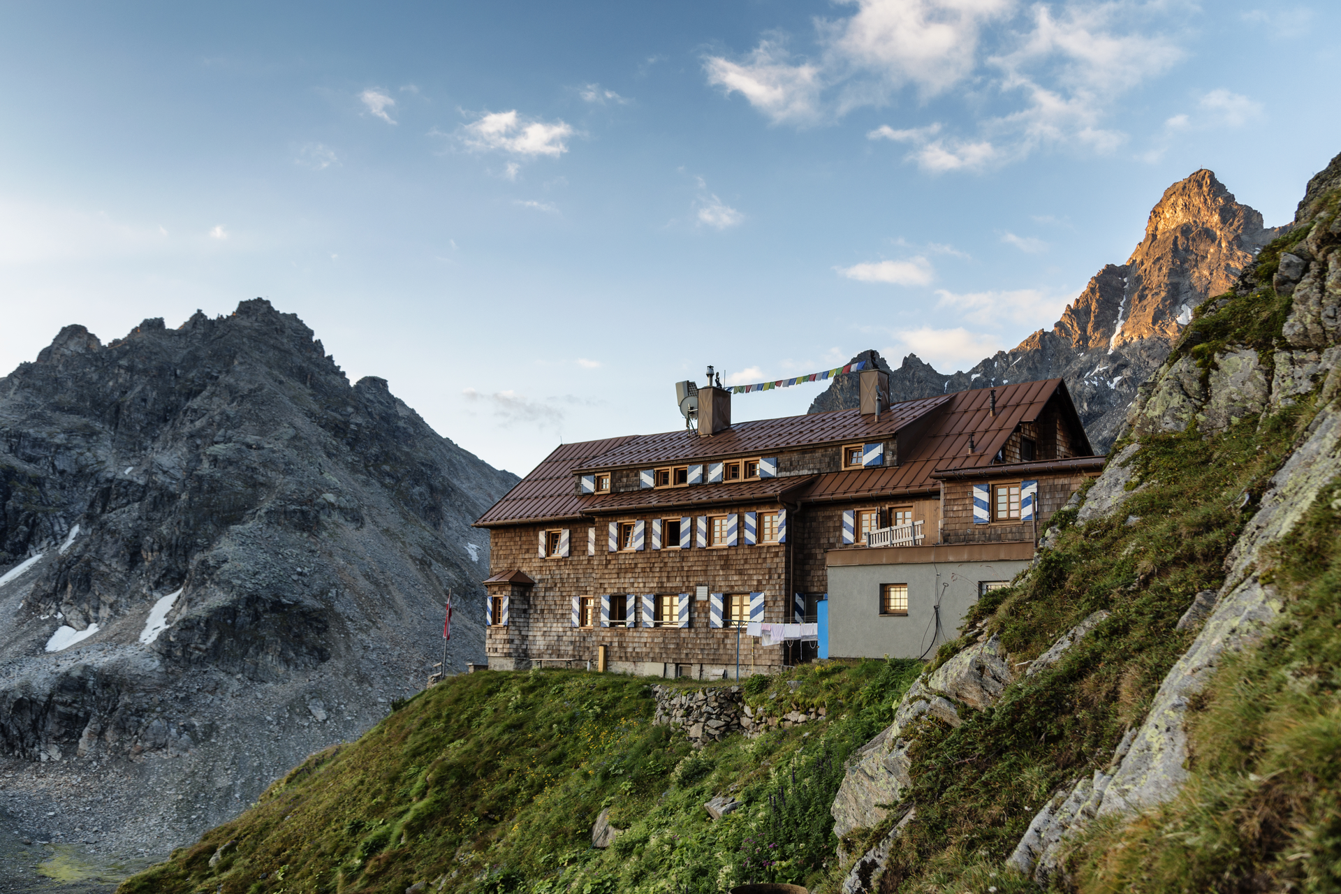
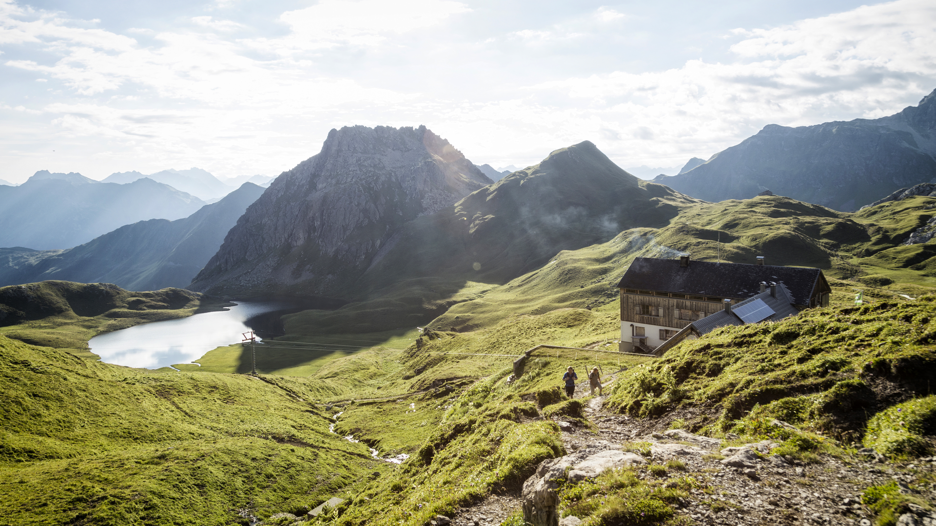
Stage 5: Wiesbadener Hut to Saarbrücker Hut
From Wiesbadener Hut, the forest road leads through Ochsental to Silvrettasee. At the mouth of the Ill river, turn left and shortly after again left into Klostertal towards Saarbrücker Hut. After about 1 hour, the path leads right over the Klostertaler Bach up into Verhupftäli and further to Litzner Sattel / Saarbrücker Hut. Surefootedness is required on this section. From Litzner Sattel, you reach Saarbrücker Hut in about 50 minutes.
Walking time about 4:45 hrs // about 10.7 km // ascent 798 m, descent 706 m
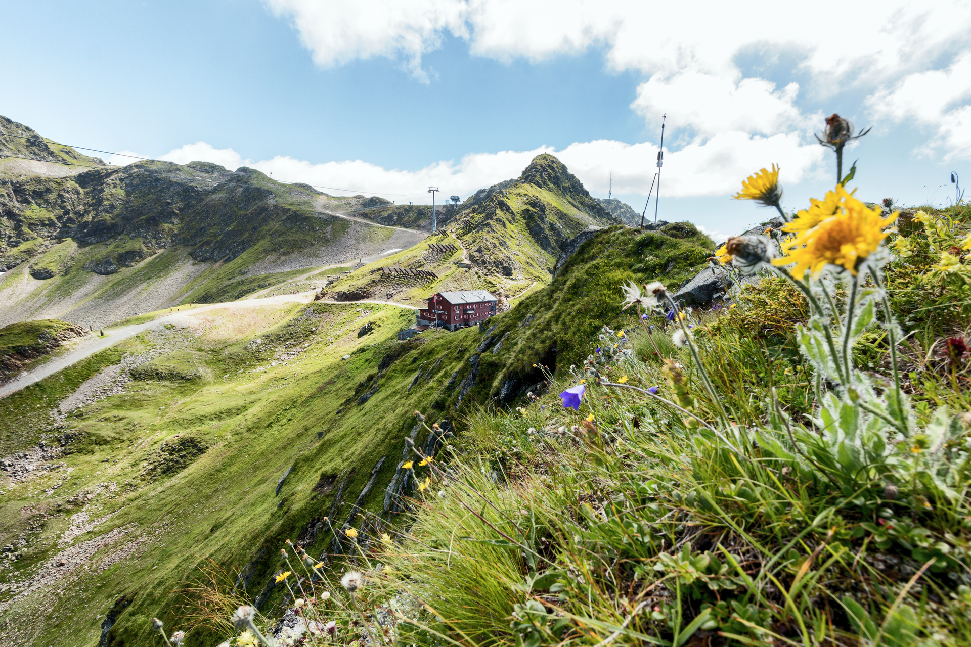
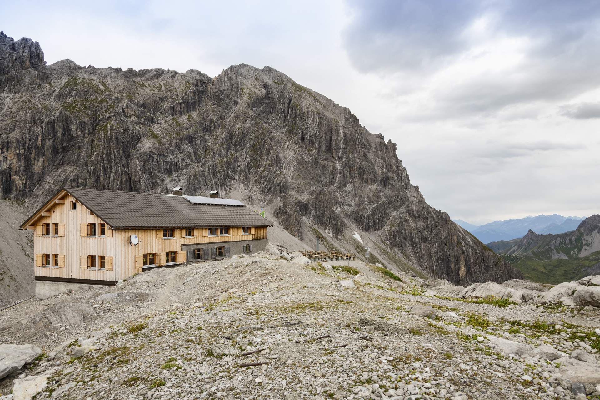
Stage 6: Saarbrücker Hut to Tübinger Hut
From Saarbrücker Hut (2,538 m), the highest hut on the Montafoner hut circuit, the path leads up to Seelücke. The view to Großlitzner and the large Seehorn is very impressive. It is explicitly advised not to take the shorter path over the Kromer Glacier due to rockfall/slip hazard (still marked as High Trail 02 on many maps!). From Seelücke, the path goes into Seetal (left the impressive See Glacier) and after about 45 min again up to Plattenjoch (2,728 m). Ambitious and experienced hikers can climb the western Plattenspitze in 30 minutes via an unsecured and unmarked path from here. From the Joch, the somewhat difficult path leads in about 1 hour to Tübinger Hut.
Walking time about 2:45 hrs // about 4.6 km // ascent 397 m, descent 747 m
Stage 7: Tübinger Hut to Gargellen
From Tübinger Hut, the path leads over Mittelbergjöchli and Vergaldner Jöchli (2,515 m) (short cable section) into Vergaldatal. A stop at Vergaldaalpe is recommended! From Vergaldaalpe, the path leads in about 1 hour to Gargellen, the next stage destination.
Walking time about 5:00 hrs // about 12.2 km // ascent 326 m, descent 1,109 m
Stage 8: Gargellen to Tilisuna Hut
From the center, the path leads past Hotel Madrisa to Rongg Alpe, where the first and only refreshment possibility of the tour is located. Then the path leads to the lower and further to the upper Röbialpe. A beautiful high plateau opens up. The path continues up to Sarotlajoch. On Swiss territory, the path leads to Plasseggen Pass (short cable-secured section). On this path, you are accompanied by a fantastic panorama with limestone rock formations of the Rätikon mountain range. Customs houses at Plasseggen Pass recall former smuggling times. From Plasseggen Pass, the Rätikon North High Trail gently passes bogs under the steep drops of Scheienfluh and Weissplatte to Tilisuna Hut. A beautiful path section on the Montafoner hut circuit.
Walking time about 4:45 hrs // about 9.8 km // ascent 1,091 m, descent 286 m
Stage 9: Tilisuna Hut to Lindauer Hut
From Tilisuna Hut, a short ascent leads to Schwarzhornsattel. Over Bilkengrat with great views of Sulzfluh, Drei Türme and Drusenfluh (with Weissplatte), the path leads down to the valley to the well-known Lindauer Hut. Surefootedness is required on Bilkengrat.
Walking time about 2:30 hrs // about 4.6 km // ascent 211 m, descent 679 m
Stage 10: Lindauer Hut to Totalp Hut
From Lindauer Hut, the path first leads to the nearby Spora Alpe. At the foot of the limestone mountains "Drei Türme" and "Drusenfluh," the path heads towards Lünersee. After about 450 m of altitude or 1.5 hours, you reach Öfenpass. 30 minutes later, you reach the "Swiss Tour" passage. An old customs house sits here by the wayside. To the right of the "Swiss Gate" are the Kirchlispitzen, a hotspot for daring sport climbers from around the world. The path then leads again uphill to Verajoch (2,323 m). On descending from Verajoch, the Lünersee can already be seen after a short time. Near Lünersee is the Lünersee Alpe. Turn left here, after about 500 m past a mountain stream, the path leads uphill to Totalp Hut. From Lünersee Alpe, it is about 1.5 hours to Totalp Hut.
Walking time about 4:45 hrs // about 10.6 km // ascent 1,157 m, descent 525 m
Stage 11: Totalp Hut to Douglass Hut
From Totalp Hut, the tour leads you down a path to Lünersee. Following the lakeshore path of Lünersee to the left, the path leads to Douglass Hut.
Walking time about 1:10 hrs // about 3 km // ascent 19 m, descent 417 m
Stage 12: Douglass Hut to Heinrich Hueter Hut
Your tour starts at Douglass Hut on Lünersee. Already here, you move in a picturesque, legendary setting around Lünersee. Enjoy the view. The path leads you along Lünersee. After a gentle ascent, a gigantic view opens up to Montafon and the surrounding mountain world. Always look to the left. There you can observe one of the most beautiful mountains of Montafon, the Zimba. The Zimba, also affectionately called the Montafon Matterhorn due to its shape, towers above Heinrich Hueter Hut, which is your destination.
Walking time about 2:00 hrs // about 4.8 km // ascent 227 m, descent 454 m
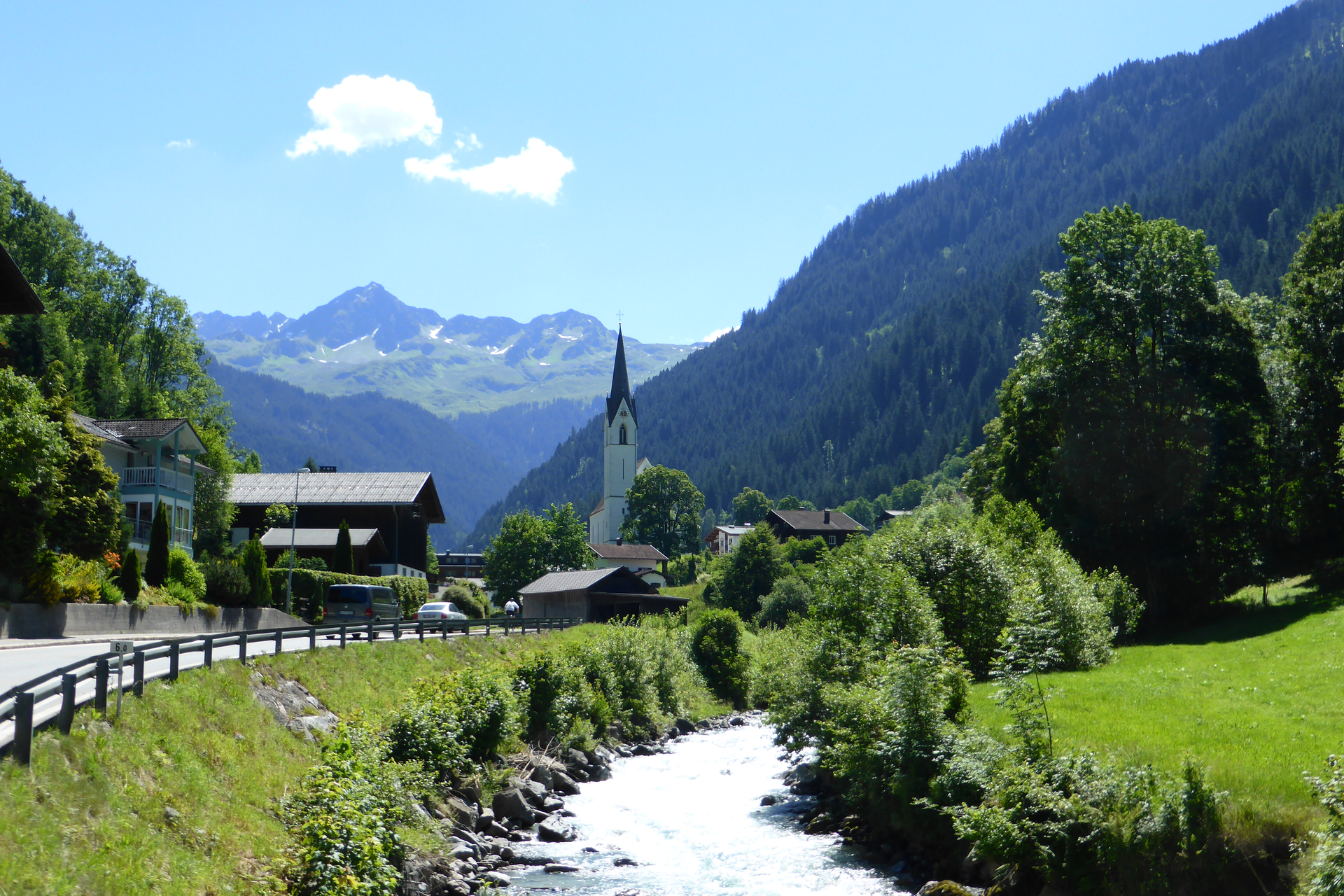
Stage 13: Heinrich Hueter Hut via Matschwitz to Latschau
From Heinrich Hueter Hut, the first section leads to the Alpengasthof Rellstal. After a half-hour ascent, the path continues leisurely over Platzis-Alpe to Außergolm. Follow the "Matschwitz" signpost. The path leads past Golmalpe to the Maisäß settlement Matschwitz. Dining possibility: Haus Matschwitz. The path leads past the Matschwitz chapel over the Golmer Alpweg to Latschau.
Walking time about 5:15 hrs // about 13.5 km // ascent 491 m, descent 1,257 m


 bei Stoiser Alexander")