Smuggler’s path

Moderate
Alpenmosaik - Rätikon
Einkehrmöglichkeit
Rundtour
Themenweg · Hiking · Alpine mosaic – Rätikon · Alpine mosaic · Refreshment stops · Round trip
04:30 h duration
8,61 km Länge
2478 m Höchster Punkt
2117 m Tiefster Punkt
615 hm Aufstieg
615 hm Abstieg
Kondition
Schwierigkeit
Erlebnis
Landschaft

Tourbeschreibung

The smuggler’s path gets your imagination going. The story of the smugglers sneaking over the border to Switzerland or back to Vorarlberg in the dead of night comes alive here. Starting at Schafberg, you circle the Gargellen Heads, cross two mountain passes, and from Switzerland have completely new views of the Rätikon. Over the Gafierjoch, you return to the Schafberghüsli.

Description

Hiking on historic trails
Where smugglers and muleteers thronged centuries ago and tried to evade customs officers, well-travelled mountain paths still lead through the unique mountain landscape today. For one and a half centuries, from the beginning of the 19th century well into the 20th century, smuggling was an important source of income for the population, especially in Montafon. Loads of up to 40 kilograms were carried on nightly marches over the mountains, filled mainly with “green gold.” The coffee beans were unroasted so their smell would not alert customs officers. Salt, flour, sugar, and saccharin were smuggled into Austria, as well as luxury goods like tobacco, coffee, and chewing gum, but also soap, detergent, and toilet paper. To avoid strict censorship, smugglers also brought forbidden books into Austria. Animals and products such as butter, meat, bacon, as well as pelts and cowhides were smuggled into the Prättigau. Up to 400 head of cattle were driven yearly over passes and cols into Switzerland. Popular in Switzerland were also clothing, shoes, and watches as well as tobacco pipes, binoculars, porcelain, and cowbells from Austria.

The smugglers were clever and cunning. Some nailed their shoe soles on backwards to mislead pursuers. This way, their tracks pointed exactly in the opposite direction. If a customs officer followed the fresh tracks in the snow, he would run away from the smuggler, not after him.


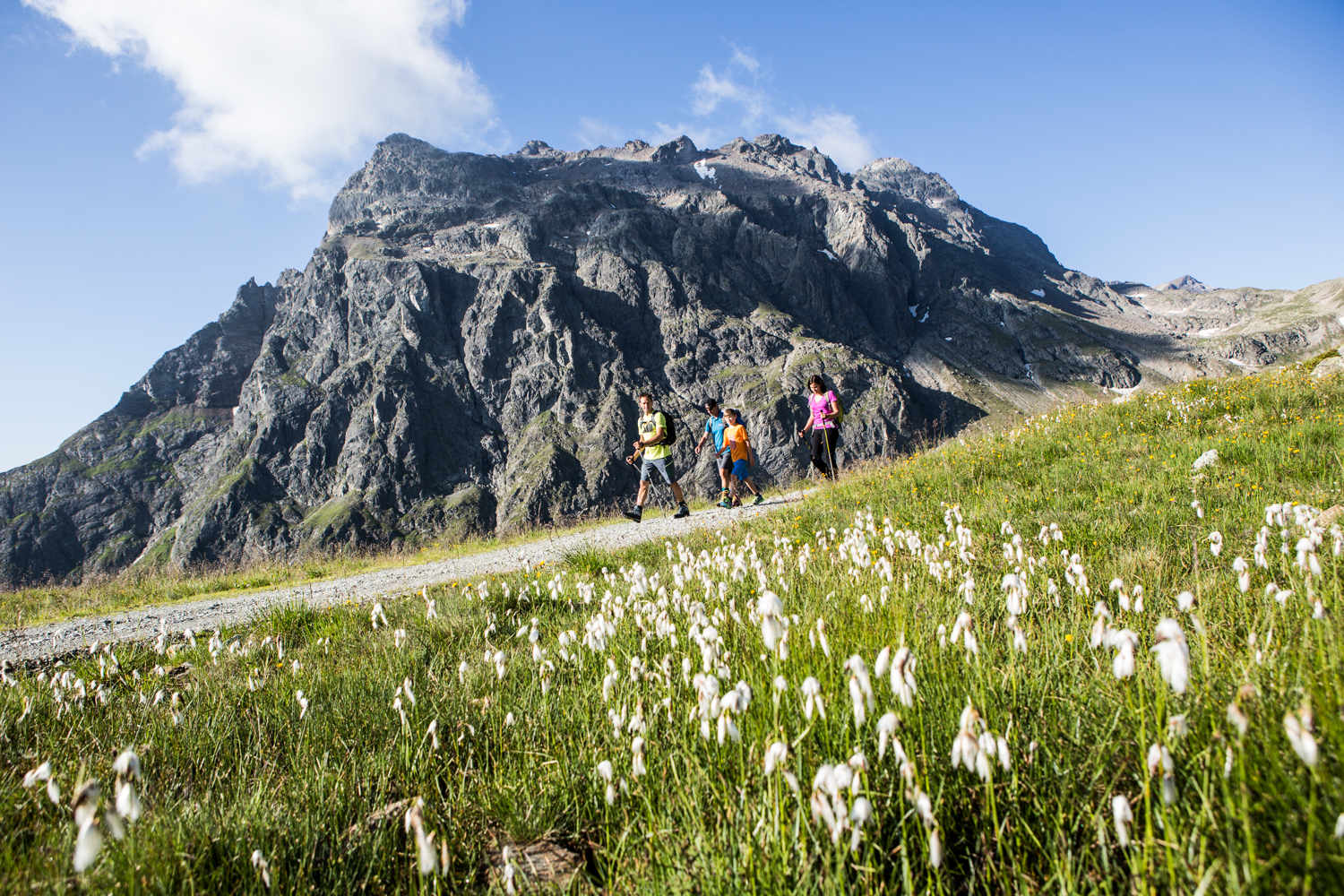
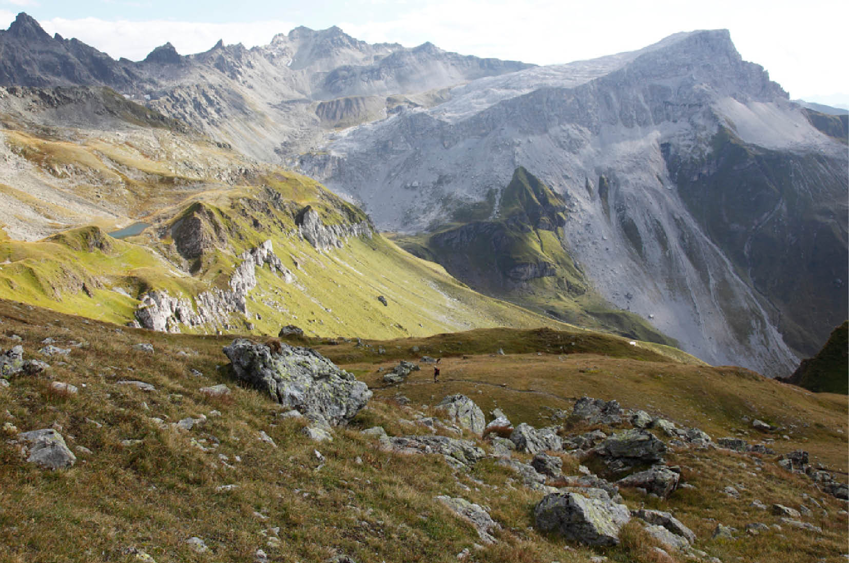
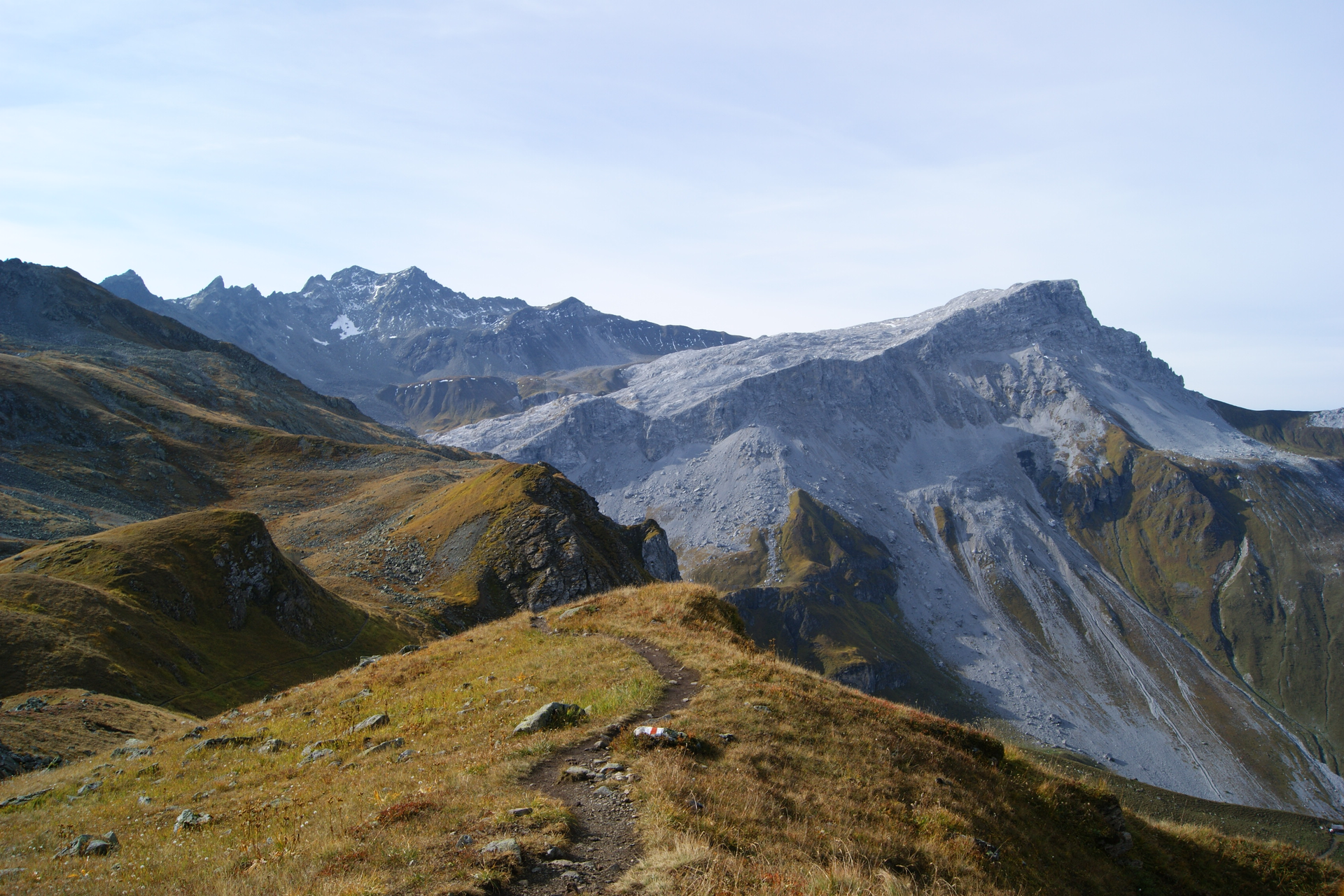
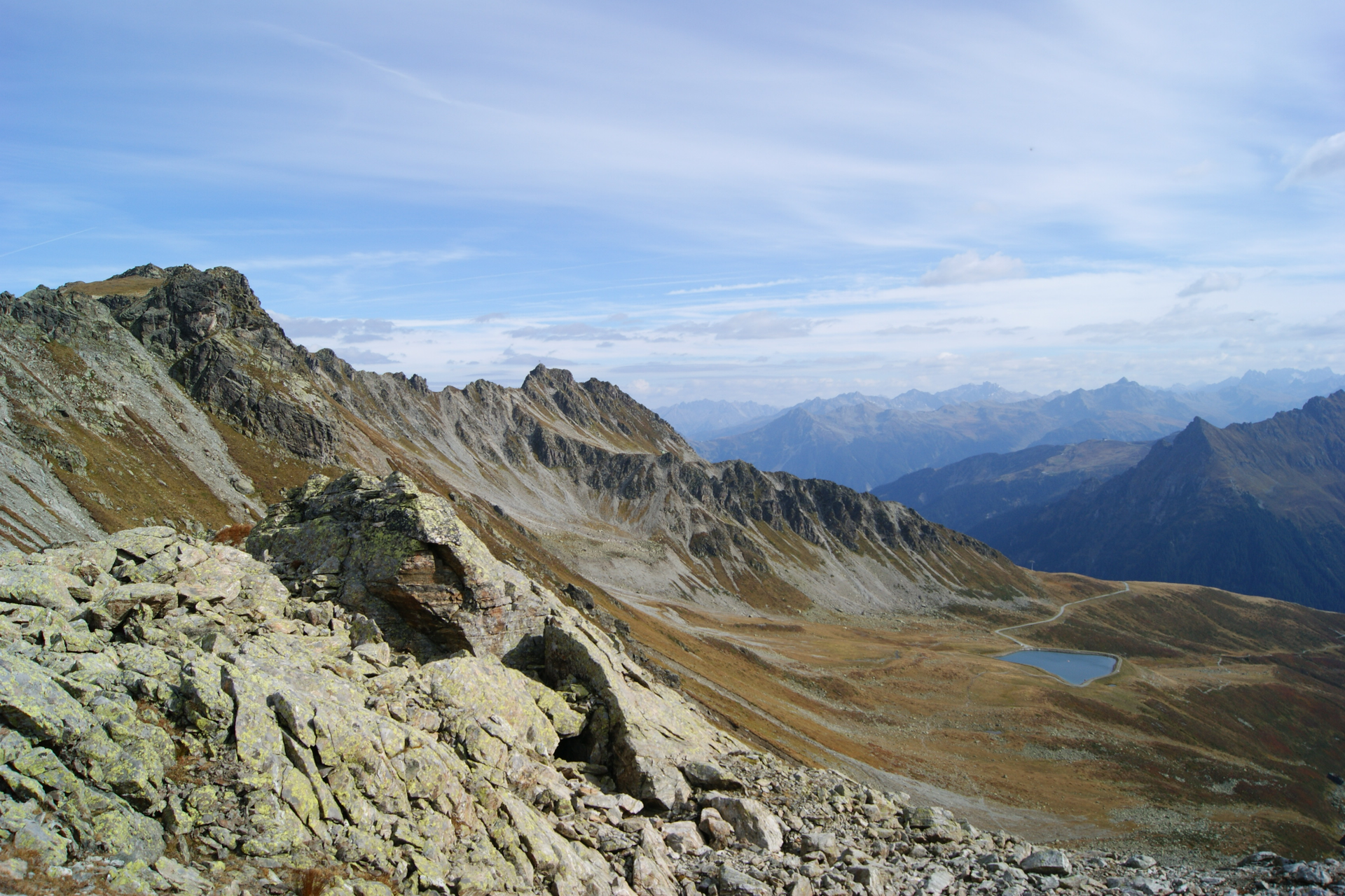
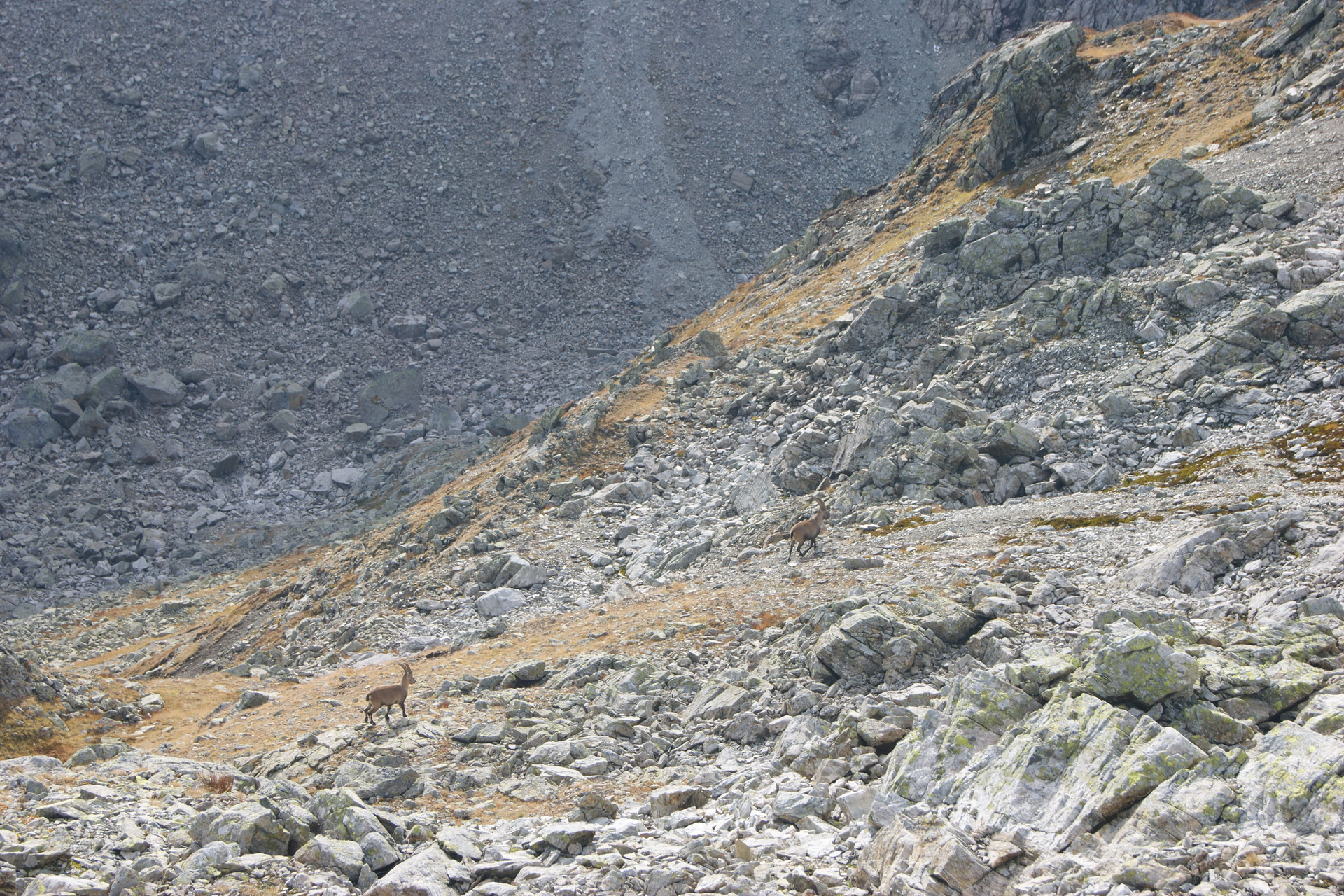
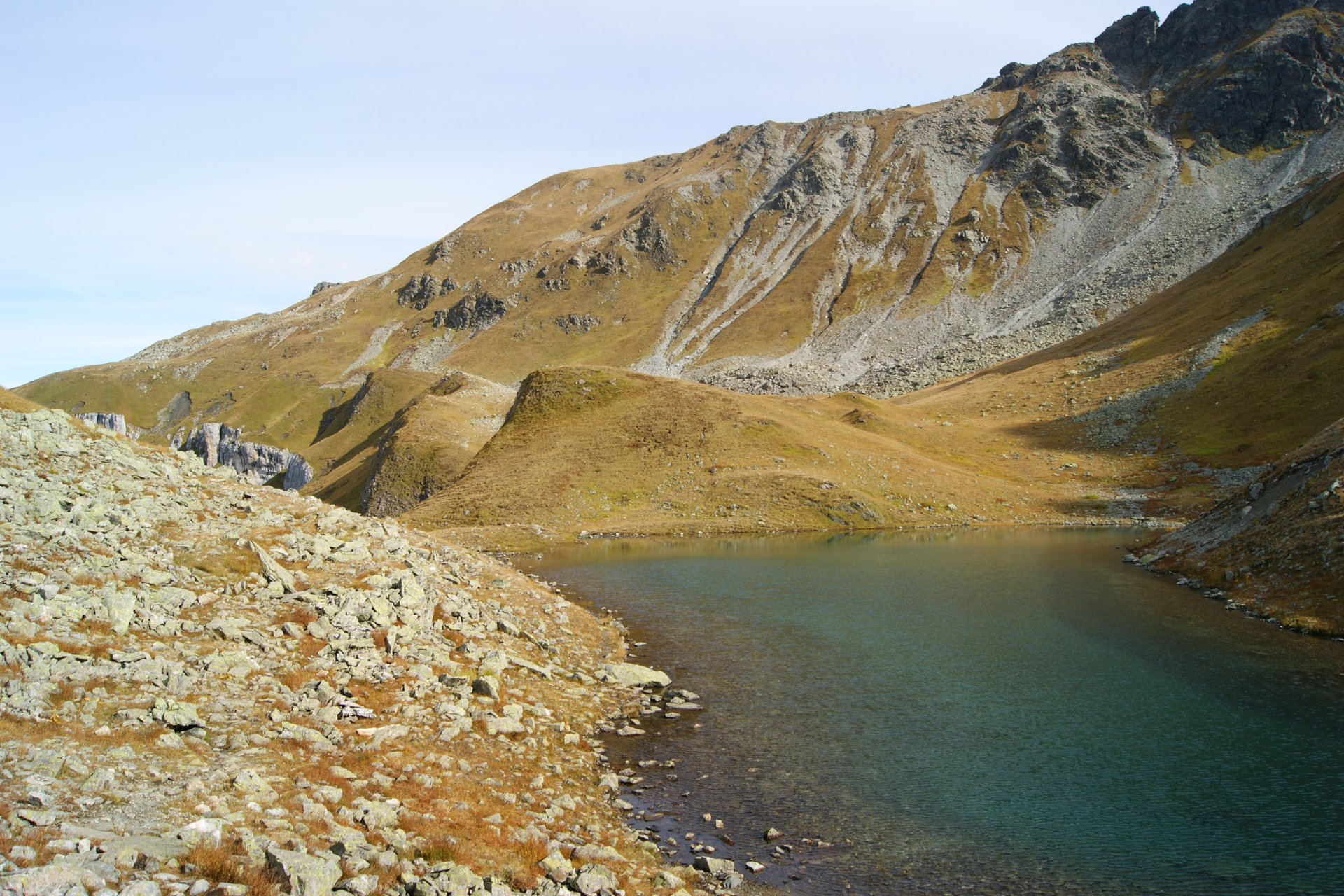
In a varied circular hike, the smuggler’s path leads from the mountain restaurant Schafberg Hüsli (2,130 m) over the St. Antönier Joch (2,379 m) - past Lake Gafier (2,290 m) to the Gafierjoch (2,415 m) and back to the mountain restaurant. On the four and a half to five-hour circular hike through the border area between Austria and Switzerland, there is much to discover. With a bit of luck, you can observe marmots, chamois, or even an ibex. The smuggler’s path was awarded the Austrian hiking seal of quality in 2015!

Note: From the St. Antönier Joch, you hike a short section along the ridge. On this passage, surefootedness and no fear of heights (white/blue/white marking) are required. A steel cable is provided as assistance. Otherwise, the rest of the hike is marked with white-red-white. A path trail.

Approach

Drive on the A14 to the Bludenz/Montafon exit and then continue on Montafonerstraße L188 to St. Gallenkirch. There, turn right into Gargellnerstraße and follow it to Gargellen up to the Gargellen mountain railways.

Public transport

Just leave your car behind

The regional buses of the Montafonerbahn operate throughout the Montafon. The main lines run every half hour from Schruns station.

Bus stop for the start/end of the route: Gargellen Schafbergbahn / Line 670

Schedule: www.vmobil.at

Arrival by train to Montafon

From Bludenz station, the Montafonerbahn runs hourly (partially half-hourly). There are also direct connections from Lindau (D) and Bregenz.

Schedule: www.oebb.at

Parking

Parking spaces are located at the valley station of the Gargellen mountain railways.

Directions

The start of the route is at the mountain restaurant Schafberg Hüsli in Gargellen and leads up the wide path towards the mountain station of the Kristallbahn, simply follow the signs towards St. Antönier Joch. Once at the top, it goes around the mountain, orient yourself using the signpost to St. Antönier Joch. At first, it goes slightly downhill before branching off onto the narrow path to St. Antönier Joch. The signpost indicates that you will reach the col in 45 minutes. You walk over meadows and then reach St. Antönier Joch, the border between Austria and Switzerland. A breathtaking view lies at your feet. The path continues to the left. Over the ridge (rope available, surefootedness and no fear of heights required) you hike to the highest point of this route. Following the path on the Swiss side, you continue hiking. Your next stop is Lake Gafier. Idyllically embedded in meadows, it offers a rest to enjoy the views of the Walser village St. Antönien, the Sulzfluh, the Drei Türme, and the imposing Rätschenfluh. Rejuvenated and refreshed, after Lake Gafier you hike uphill again through boulder fields in a somewhat steep ascent. Numerous viewpoints on the back of the Gafierjoch make this hike an unforgettable experience. At the Gafierjoch you cross the border again and continue hiking on Montafon soil. At the Gafierjoch you turn left and descend via the reservoir lake back to the starting point, the mountain restaurant Schafberg Hüsli.

Alpine mountain path – may include safety ropes and assistive steps.

Safety instructions

EMERGENCY CALL: 144
European emergency call 112 (works with any mobile phone/network)
www.vorarlberg.travel/sicherheitstipps

Equipment

Mountain boots with good grip, poles recommended

Tips

Don’t forget binoculars – possibly to observe ibexes

Destination

Gargellen, Schafbergbahn mountain station

Starting Point

Gargellen, Schafbergbahn mountain station

Eigenschaften
Routentyp Themenweg, Hiking, Alpine mosaic – Rätikon, Alpine mosaic, Refreshment stops, Round trip
Schwierigkeit Moderate
Höhenprofil
Beste Jahreszeit
Jan
Feb
Mär
Apr
Mai
Jun
Jul
Aug
Sep
Okt
Nov
Dez