Silvretta 3-Lakes Route
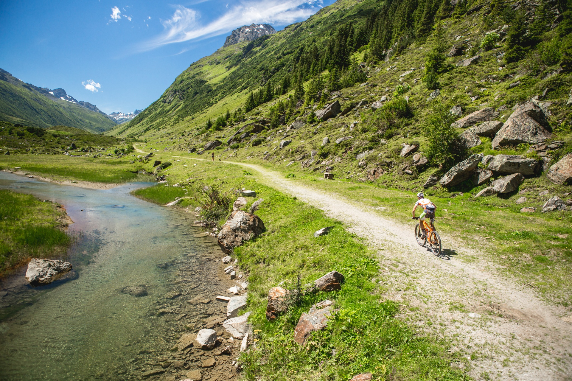
(E-)Mountainbiken
· Refreshment stops
· Round trip