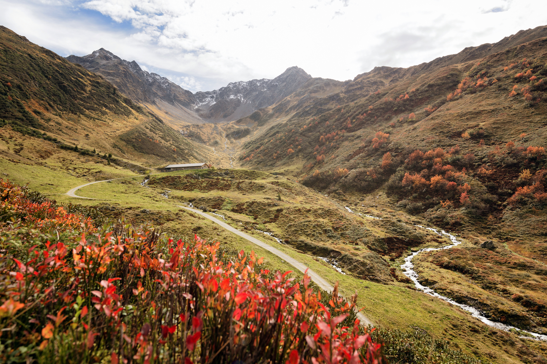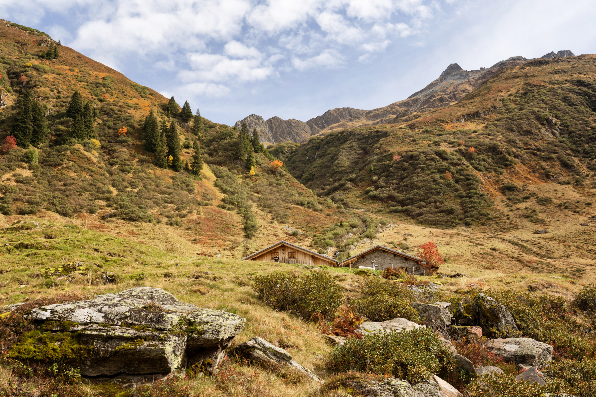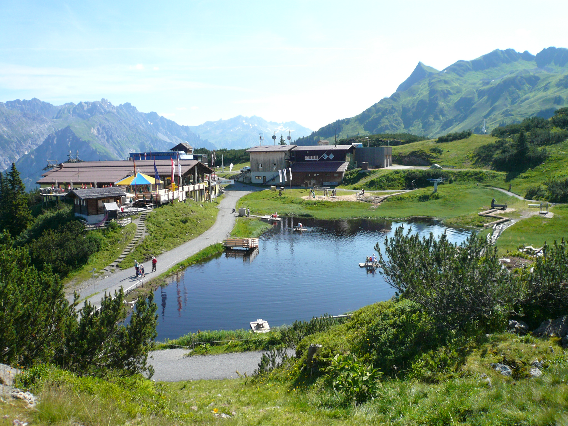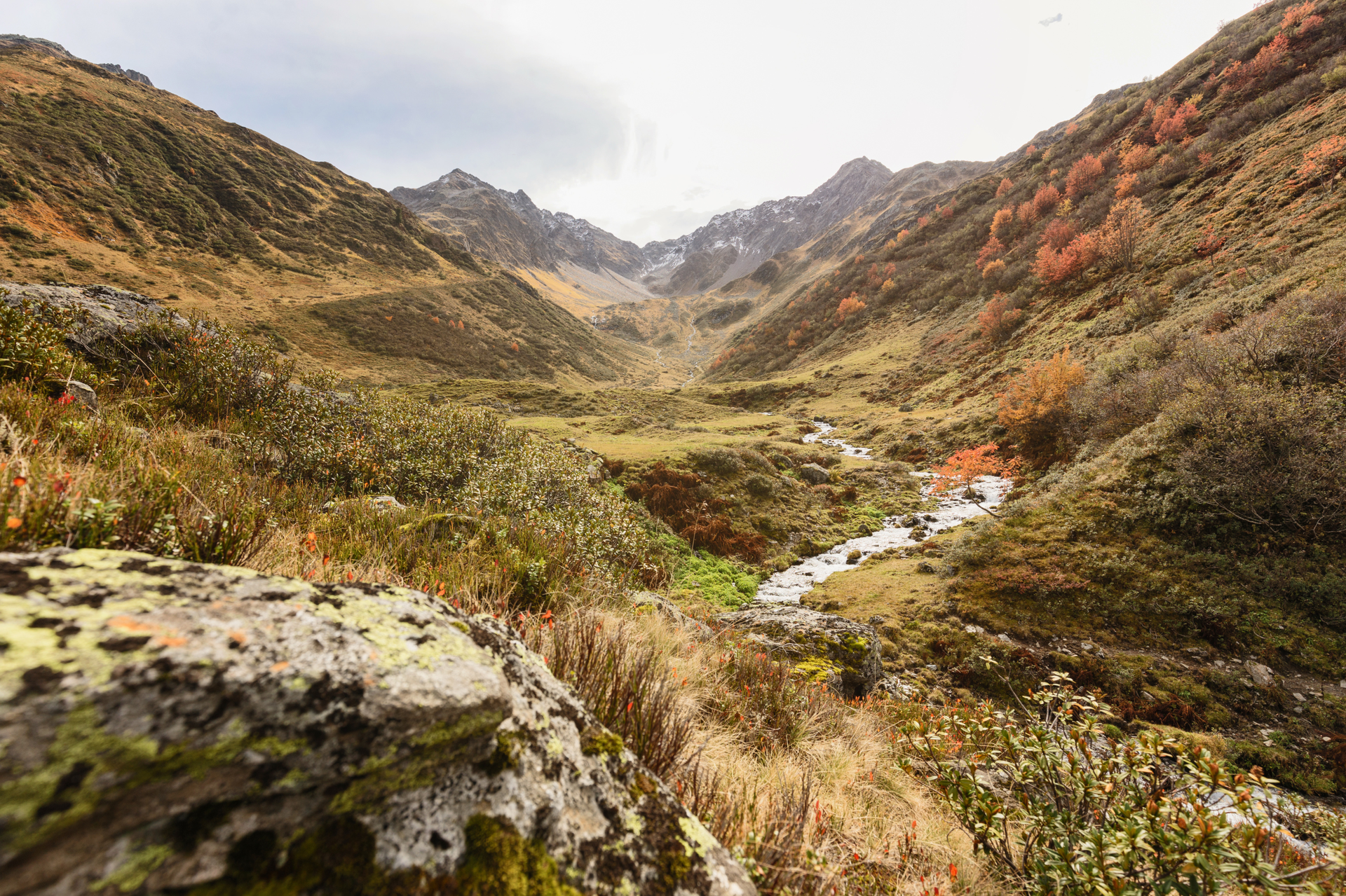
Wasserstubental route
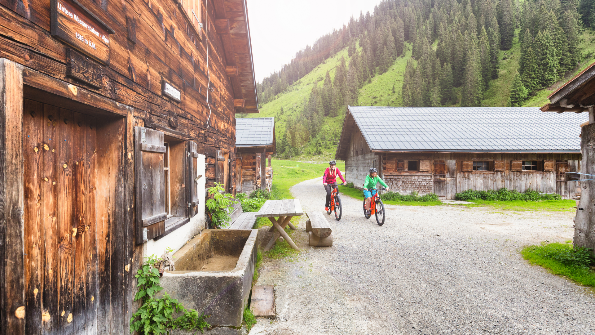
(E-)Mountainbiken
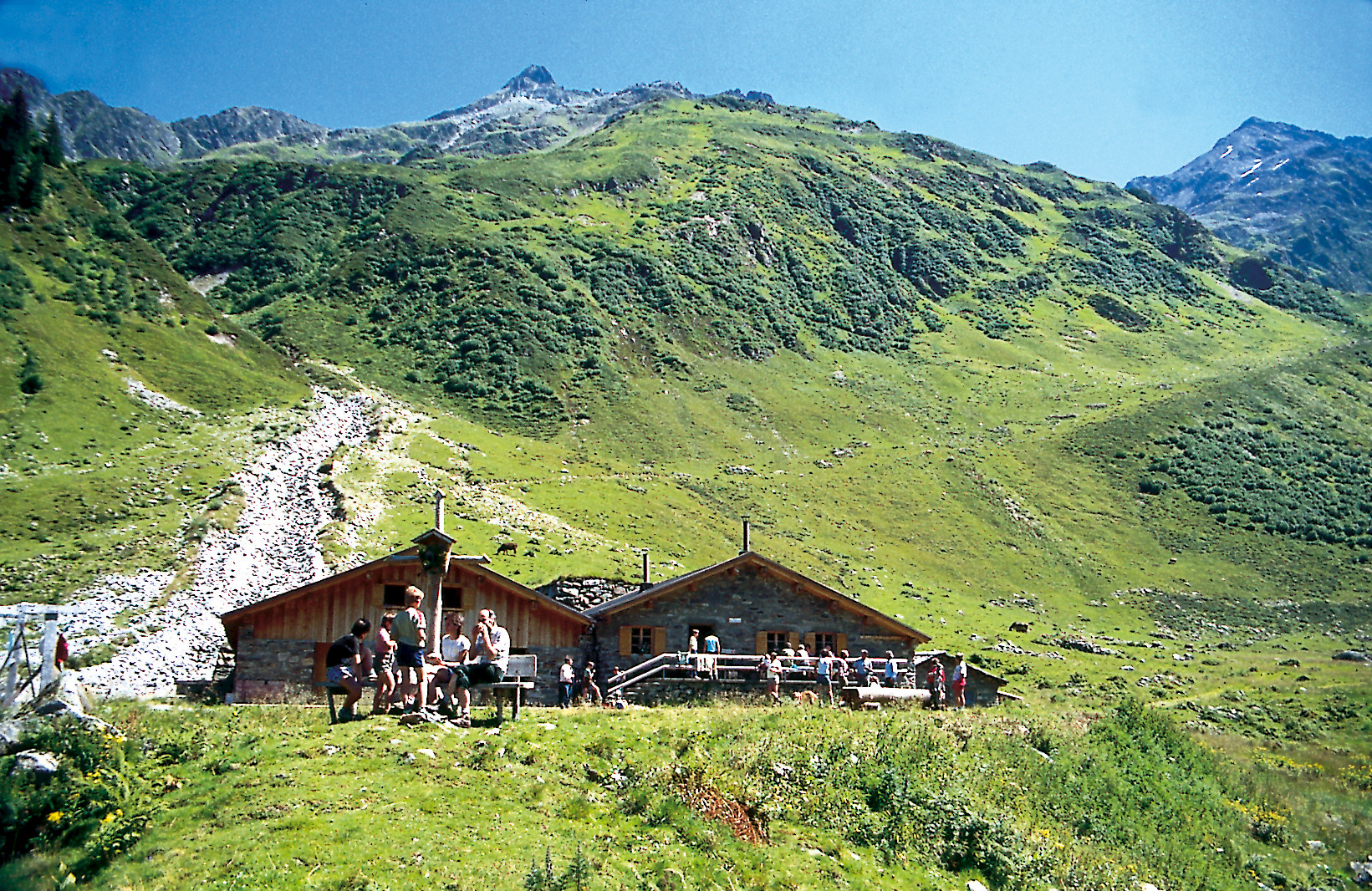
· Refreshment stops
· Round trip