From Tafamunt to the Versalspitze

Difficult
Einkehrmöglichkeit
Hiking · Refreshment stops
04:00 h duration
10,1 km Länge
2487 m Höchster Punkt
1684 m Tiefster Punkt
917 hm Aufstieg
821 hm Abstieg
Kondition
Schwierigkeit
Erlebnis
Landschaft

Tourbeschreibung

Untouched natural landscapes, an impressive Kopssee, and an unforgettable summit panorama on the way to the Versalspitze!
Description

The Versalspitze is a very rewarding summit in the Verwall European protected area. The breathtaking views of the Rätikon mountain groups and the glaciated Silvretta make up for the somewhat strenuous ascent.

Approach

Take the A14 to the Bludenz/Montafon exit and continue on Montafonerstraße L188 to Partenen.

Public transport

Just leave your car behind

The regional buses run throughout Montafon. The main lines run every half hour from Schruns train station.

Bus stop at the start of the route: Partenen Bergbahnen/ Line 650

Bus stop at the end of the route: Kops Gasthaus Zeinisjoch/ Line 260

(with line 260 to Bielerhöhe Silvrettasee, then change to bus line 650)

Timetable: www.vmobil.at

Note: In addition to the ticket price, a toll fee for the Silvretta High Alpine Road must be paid per person.

Arrival by train to Montafon

From Bludenz station, the Montafonerbahn runs hourly (sometimes every half hour). There are also direct connections from Lindau (D) and Bregenz.

Timetable: www.oebb.at

Parking

Parking lot Vermuntbahn or Tafamuntbahn

Directions

Above the tree line, the path leads uphill past the massive avalanche barriers. From the rise, you can already see the summit cross of the Versalspitze early on. The path leads past the Versalhaus to the Jöchli (2,405 m). Here the path splits. To the left to Augstenberg (approx. 15 minutes on foot), straight ahead towards Verbellaalpe and further to the Kopssee.

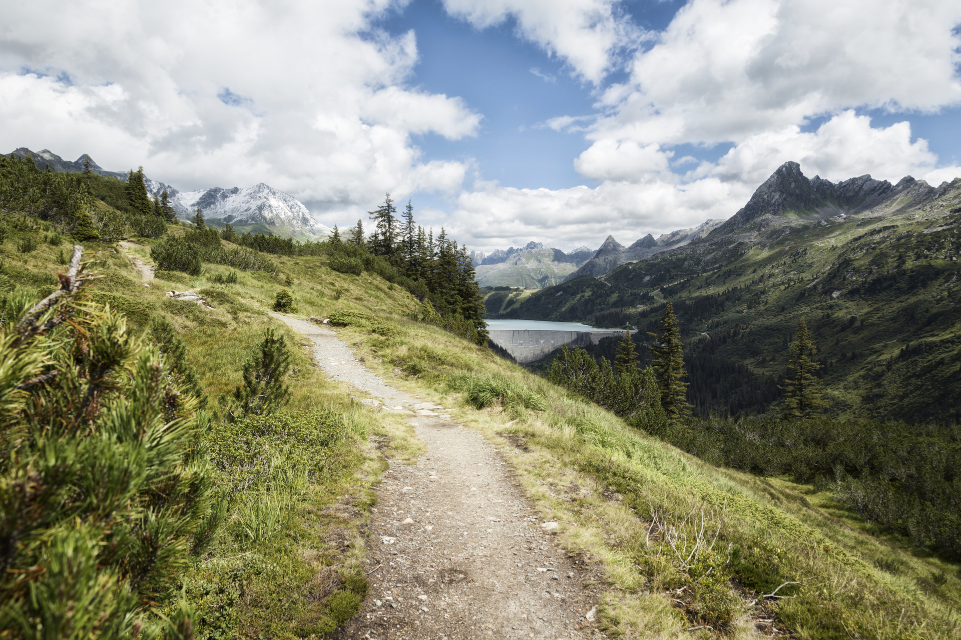
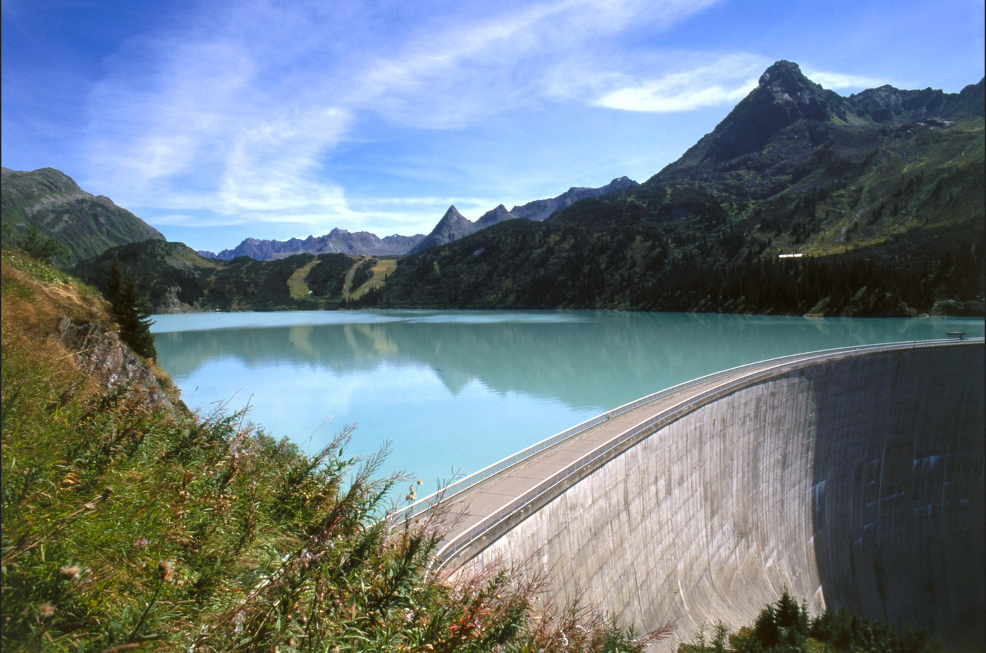
Now you follow the signpost to the right (southern direction) and reach the summit cross of the Versalspitze in about 10 minutes on foot. The view from the Versalspitze is excellent – here you can admire the highest mountains of Vorarlberg as well as the impressive Kopssee with its curved dam. The return

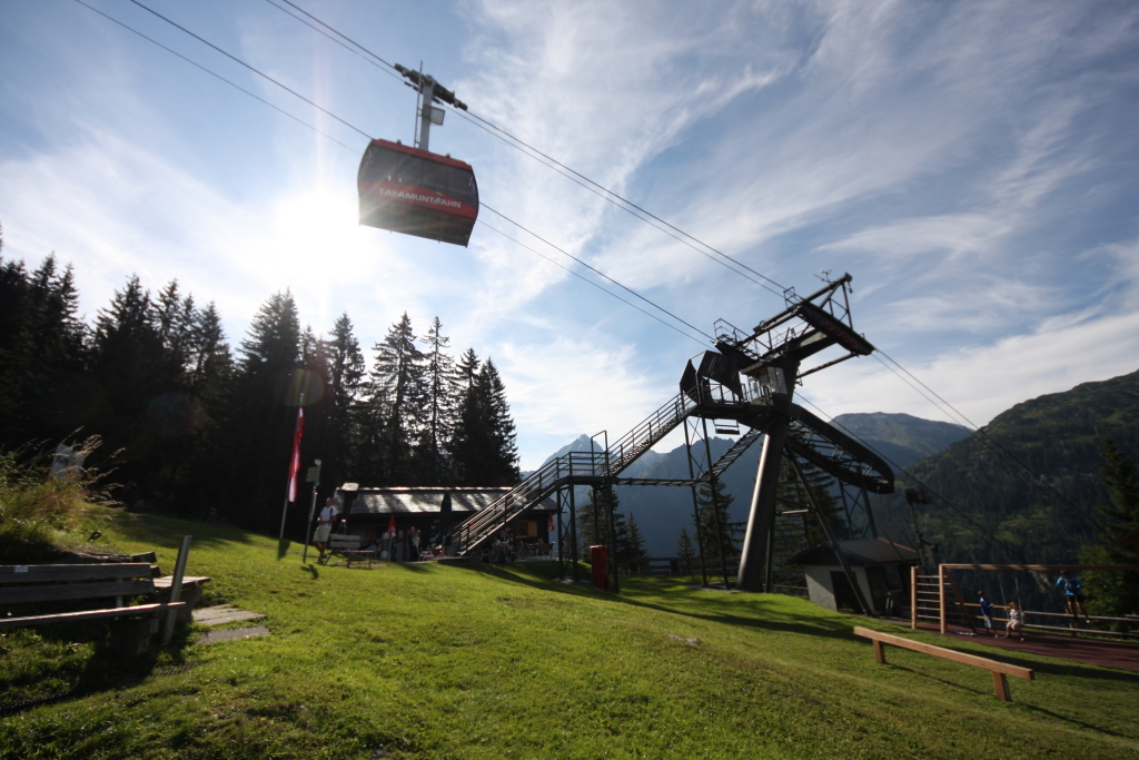
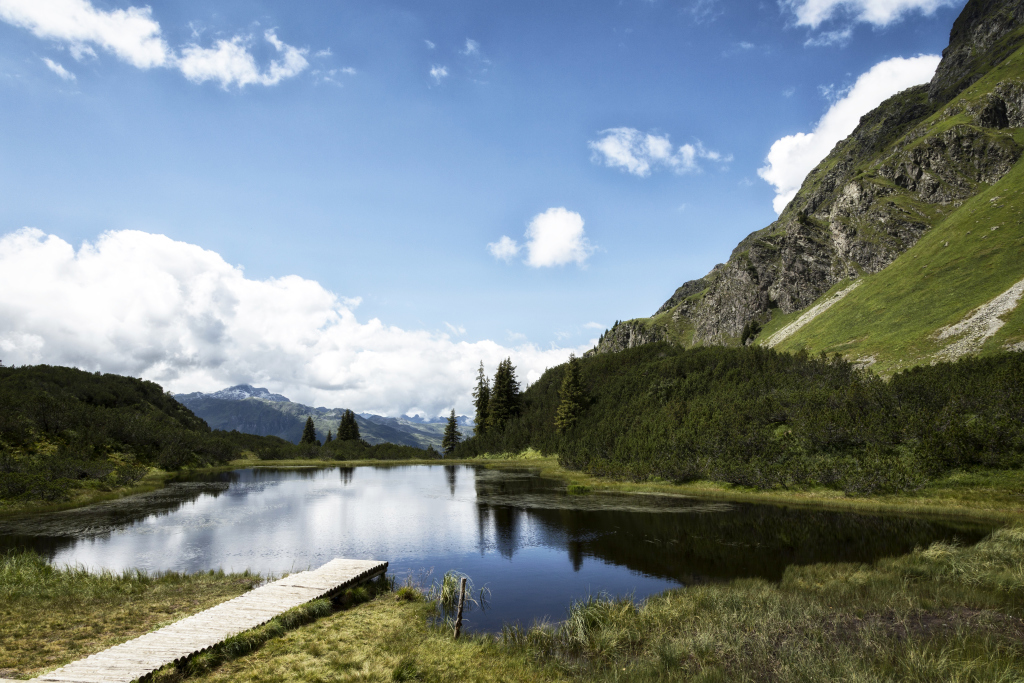
leads back to the Jöchli and further over the Verbellaalpe to Kops, from where you can take the public bus back to the valley station Tafamuntbahn (muzzle obligation). The entire hike takes between 4 to 5 hours depending on your choice of return route. Alternatively, you can walk from the Verbellaalpe through the Wiegensee European protected area back to the middle station of the Tafamuntbahn. Since the Wiegensee is a sensitive moor habitat, dogs must be kept on a leash in the Wiegensee area and are not allowed to bathe in the Wiegensee.

Sure-footedness and good physical condition are prerequisites, as well as suitable sturdy footwear. Your four-legged friend should also have some mountain experience.

Safety instructions

EMERGENCY CALL: 144
European emergency number: 112 (works with any mobile phone/network)
www.vorarlberg.travel/sicherheitstipps

Equipment

Day hiking backpack (approx. 20 liters) with rain cover, sturdy and comfortable footwear, weather-appropriate and durable layered clothing, possibly telescopic poles, sun and rain protection, provisions and drinking water, first aid kit, pocket knife, mobile phone, possibly headlamp, maps

Tips

You should definitely not miss a stop at the Verbellaalpe. There, you will be rewarded with a large portion of Montafon hospitality, fresh mountain milk, and cheese varieties from Vorarlberg.

Destination

Partenen, Kops, Zeinisjoch

Starting Point

Partenen, Tafamunt mountain station

Eigenschaften
Routentyp Hiking, Refreshment stops
Schwierigkeit Difficult
Höhenprofil
Beste Jahreszeit
Jan
Feb
Mär
Apr
Mai
Jun
Jul
Aug
Sep
Okt
Nov
Dez