To the Saarbrücker Hut ​-​ mountain hike with great glacier views

Difficult
Einkehrmöglichkeit
Rundtour
Mountaineering · Refreshment stops · Round trip
05:30 h duration
15,3 km Länge
2541 m Höchster Punkt
1909 m Tiefster Punkt
771 hm Aufstieg
771 hm Abstieg
Kondition
Schwierigkeit
Erlebnis
Landschaft

Tourbeschreibung

Silvretta-Bielerhöhe - Tschifernella - Saarbrücker Hut - Schwarze Böden - Großvermunt - Silvretta-Bielerhöhe
Description

Easy to walk high alpine route. Ascent on well-marked paths to the hut. The first part of the return route follows the hut supply trail, from the Kromerbach location on a narrow mountain path. Already at the starting point of the route, the summit of the Silvretta High Alpine Road, there is a magnificent view over the reservoir towards the three-thousanders of the Silvretta.

Approach

Take the A14 to the Bludenz/Montafon exit and continue on the Montafonerstraße L188 to Partenen to the toll station for the Silvretta High Alpine Road. Via the Silvretta High Alpine Road, you then reach the Vermuntsee and further on to the Silvretta lake. (Toll required)

Public transport

Just leave your car standing

The regional buses operate throughout the Montafon. The main lines run every half hour from Schruns station.

Bus stop at the start/finish of the route: Silvretta Bielerhöhe / Line 85

Timetable: www.vmobil.at

Arrival by train to Montafon

From Bludenz station, the Montafon railway runs hourly (sometimes every half hour). There are also direct connections from Lindau (D) and from Bregenz.

Timetable: www.oebb.at

Parking

Parking spaces are located at the Silvretta lake

Directions

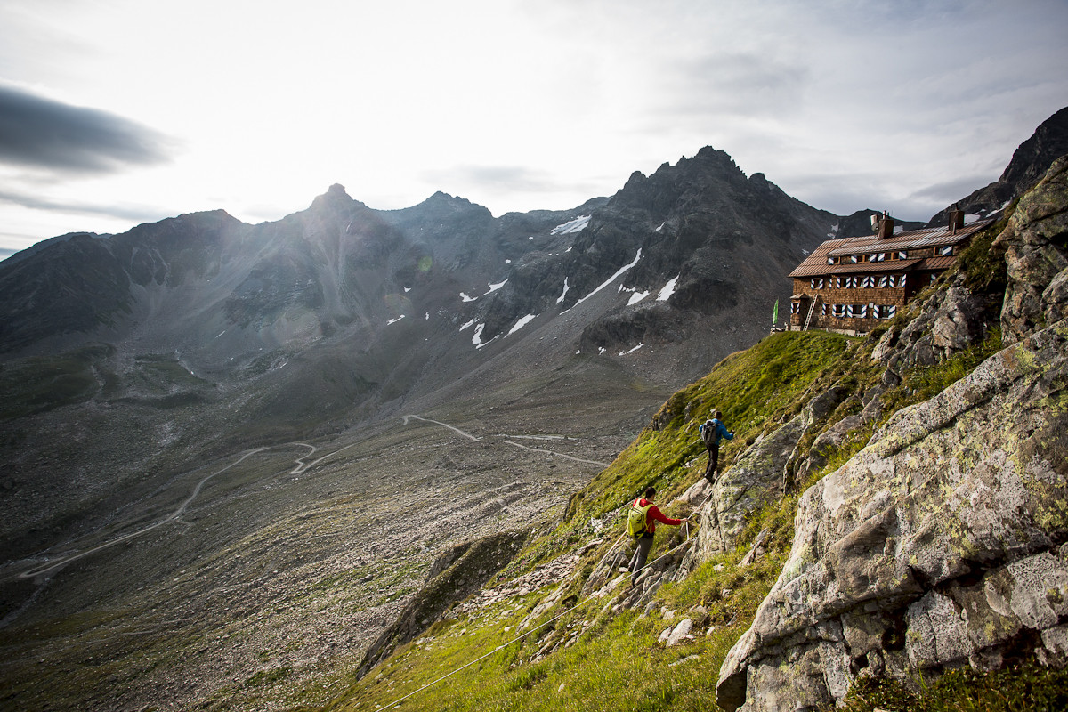
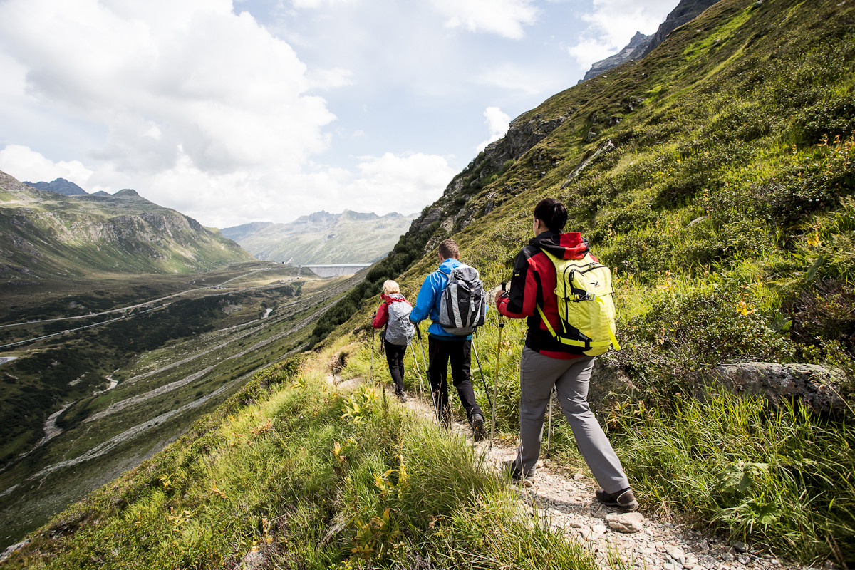
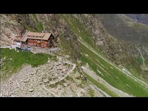
From Silvretta-Bielerhöhe it goes briefly down to the Madlenerhaus. Further downhill the young Ill river is crossed and the gradual ascent to Großvermunt begins. Over rocky fields and through low bushes it goes upwards, with the mighty massif of Hochmaderer always in view. Over the plateau of the Tschifernella you reach a grassy mountain ridge. Here, for the first time, the destination of the day becomes visible, the Saarbrücker Hut standing on a rock spur. The path passes two small glacier lakes and soon descends to the "Schwarze Böden". After the bridge over one of the two Kromerbach streams, you reach the hut supply path. Over this or a marked shortcut path you reach the highest alpine club hut of the Silvretta (2,538 m). For the descent, the hut supply trail can be chosen, which leads down past the "Schwarze Böden", past a customs hut, through the Kromertal towards Vermuntsee. At about 1,820 m a signpost indicates the further route to the right. In gentle ups and downs the path winds through Großvermunt and past the Madlenerhaus up to Silvretta-Bielerhöhe, the starting point.

Safety instructions

EMERGENCY CALL:
140 Alpine emergencies throughout Austria
144 Alpine emergencies Vorarlberg
112 Euro emergency call (works with any mobile network)
www.vorarlberg.travel/sicherheitstipps

Destination

Silvretta-Bielerhöhe

Starting Point

Silvretta-Bielerhöhe

Eigenschaften
Routentyp Mountaineering, Refreshment stops, Round trip
Schwierigkeit Difficult
Höhenprofil
Beste Jahreszeit
Jan
Feb
Mär
Apr
Mai
Jun
Jul
Aug
Sep
Okt
Nov
Dez